UN/LOCODE hub · United States
USDV4
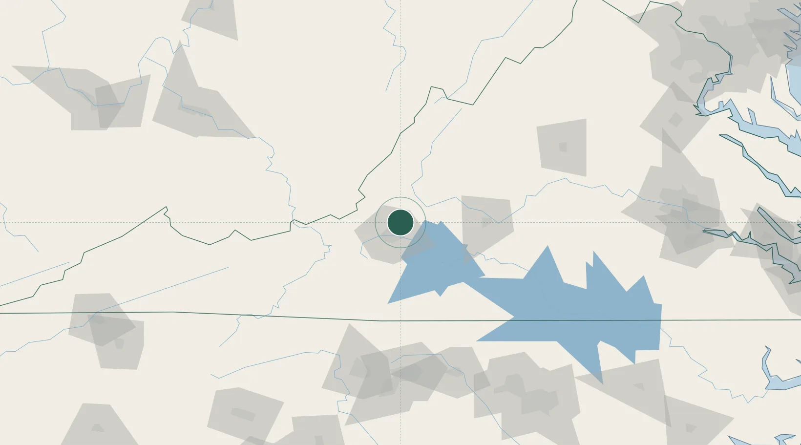
Daleville
37.4000°, -79.9167°
2,557
Population
2
Transport functions
Transport Functions
Road
Multimodal
Hub Profile
Place type
Populated place
Region
Virginia
Population
2,557
Time zone
America/New_York
Elevation
396 m
Location
Nearby Logistics Neighbours
Cities
- 1Botetourt8 km
- 2Spring Grove16 km
- 3Buchanan26 km
- 4Eagle Rock, Botetourt28 km
- 5Wirtz35 km
Ports
- 1Richmond221 km
- 2Fredericksburg239 km
- 3West Point276 km
- 4Alexandria296 km
- 5Washington D.C.300 km
Airports
Trade Zones
- 1FTZ No. 238 Dublin77 km
- 2FTZ No. 230 Piedmont Triad Area136 km
- 3FTZ No. 093 Raleigh Durham189 km
- 4FTZ No. 229 Charleston189 km
- 5FTZ No. 185 Culpeper County204 km
DatabookThe Record of Consolidated Knowledge
United States beyond logistics?