Channel & Berth Profile
Pilotage, Tugs & Services
Pilotage compulsoryYES
Potable waterYES
Diesel bunkersYES
Facilities & Capabilities
Container—
Ro-Ro—
Liquid bulk—
Dry bulk—
Oil terminal—
Break bulk—
Dry dock—
RepairsNO
Bunkering—
Rail linkYES
Dangerous cargo—
ISPS security—
Harbour Specifications
Harbour size
Very Small
Harbour type
River (Natural)
Shelter
Excellent
Water body
North Atlantic Ocean
Tidal range
0.9 m
Pilotage
Yes
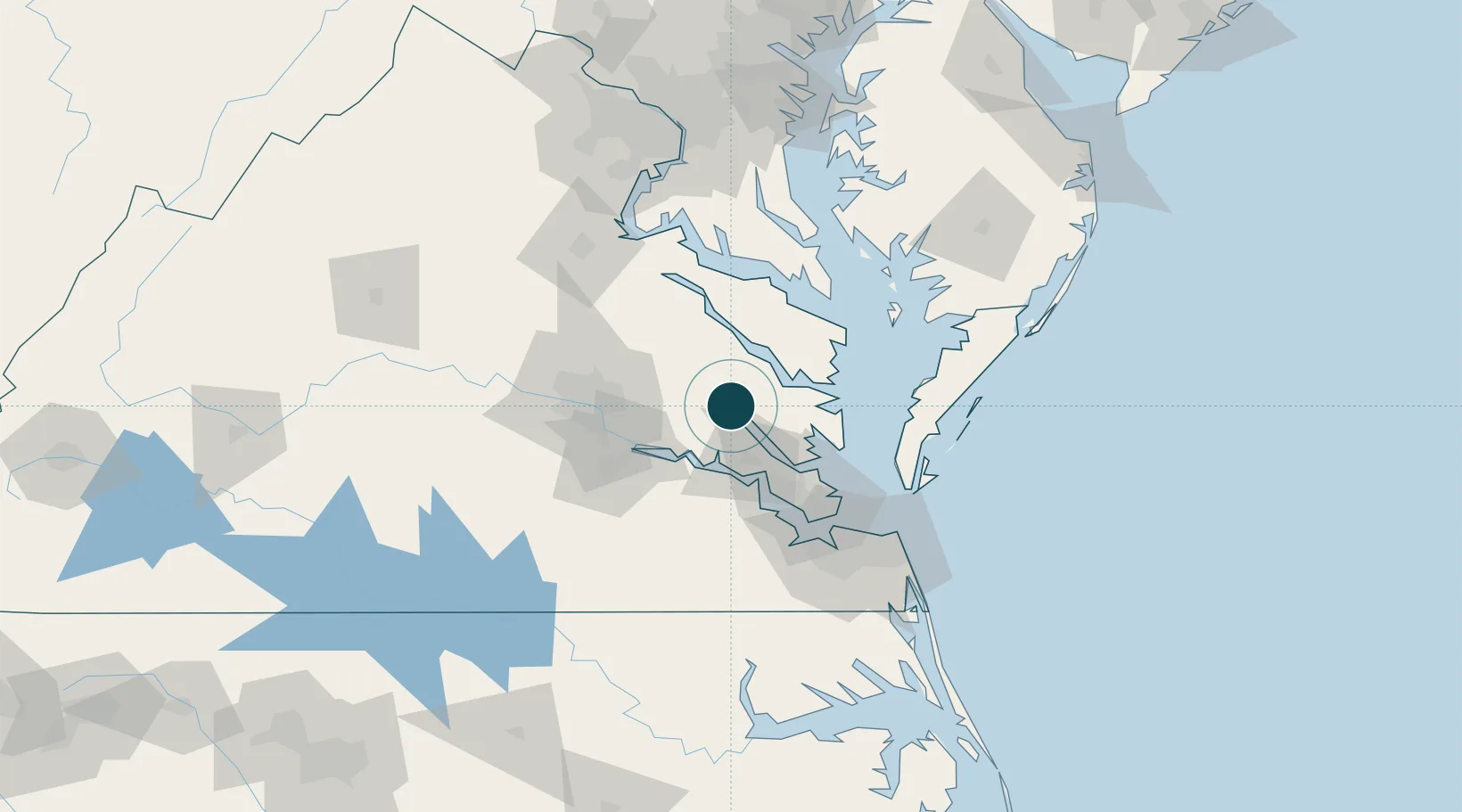
Location
Nearby Logistics Neighbours
Ports
- 1Yorktown43 km
- 2Richmond54 km
- 3Piney Point71 km
- 4Newport News71 km
- 5Cape Charles75 km
Cities
- 1Jamaica21 km
- 2King William24 km
- 3Locust Hill, Middlesex26 km
- 4Walkerton28 km
- 5Gloucester29 km
Airports
Trade Zones
DatabookThe Record of Consolidated Knowledge
United States beyond logistics?