Foreign Trade Zone · United States

FTZ No. 238 Dublin Active
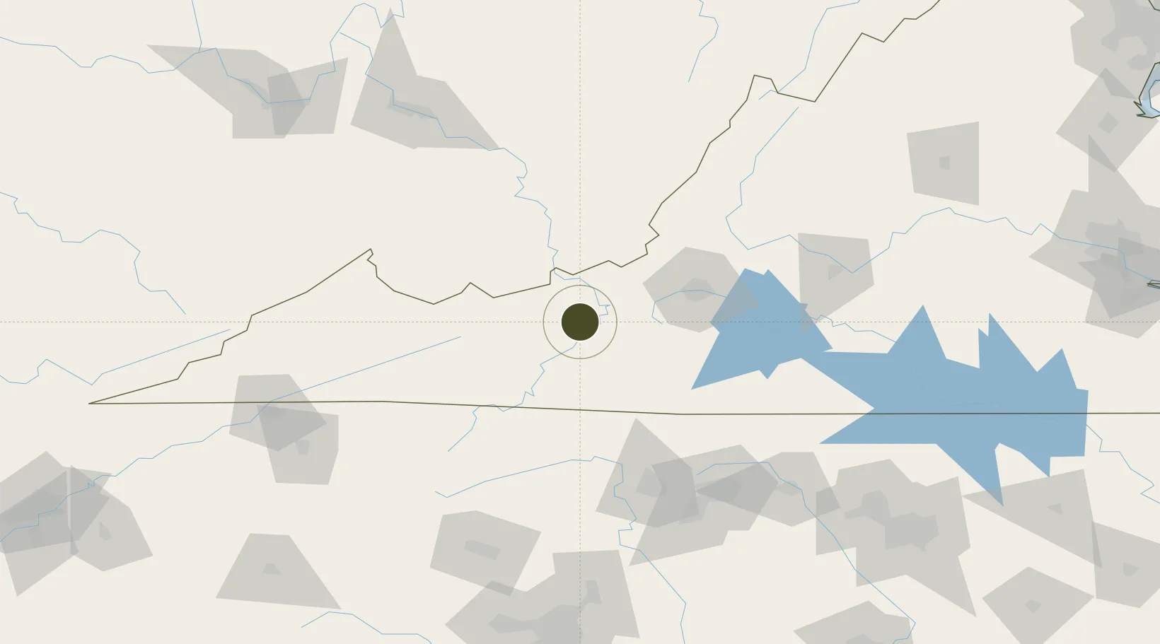
37.0974°, -80.7006°
294.4 km
Nearest port
50.0 km
Nearest airport

Gateway access

Nearest neighbours — logibook spatial index (haversine) over the source coordinates

Zone profile

Zone type
Foreign Trade Zone
Open Zone Map
Region
Virginia
Open Zone Map
Status
Active
Open Zone Map
Management
Public-Private Partnership
Open Zone Map
Operator
New River Valley Economic Development Alliance, Inc.
Open Zone Map
Legal framework
Foreign-Trade Zones Act
Open Zone Map

Location

Location of ozm-4951
Natural Earth 10m (public domain) · Virginia · ozm-4951 · 37.10, -80.70GoogleOSMYandex

Nearby Logistics Neighbours

Ports
  1. 1Richmond294 km
  2. 2Fredericksburg316 km
  3. 3West Point348 km
  4. 4Washington370 km
  5. 5Yorktown373 km
Nearest neighbours — logibook spatial index (haversine) over the source coordinates
Airports
  1. 1Mercer County Airport50 km
  2. 2Roanoke–Blacksburg Regional Airport69 km
  3. 3Raleigh County Memorial Airport85 km
  4. 4Greenbrier Valley Airport89 km
  5. 5Smith Reynolds Airport115 km
Nearest neighbours — logibook spatial index (haversine) over the source coordinates
Cities
  1. 1Hiwassee15 km
  2. 2Narrows28 km
  3. 3Norcross28 km
  4. 4Rich Creek33 km
  5. 5Floyd41 km
Nearest neighbours — logibook spatial index (haversine) over the source coordinates
Trade Zones
  1. 1FTZ No. 230 Piedmont Triad Area112 km
  2. 2FTZ No. 229 Charleston165 km
  3. 3FTZ No. 204 Tri-Cities167 km
  4. 4FTZ No. 057 Mecklenburg County207 km
  5. 5FTZ No. 093 Raleigh Durham208 km
Nearest neighbours — logibook spatial index (haversine) over the source coordinates
DatabookThe Record of Consolidated Knowledge
United States beyond logistics?
Browse databook

All Sources

Trade ZonesOpen Zone Map
CC BY
Portsthe NGA World Port Index
Public domain (US gov)
AirportsOurAirports
Public domain
LocationsUN/LOCODE
UN/LOCODE — free
← United States trade zones