Medium airport · United States
Lynchburg Regional Airport - Preston Glenn FieldKLYH
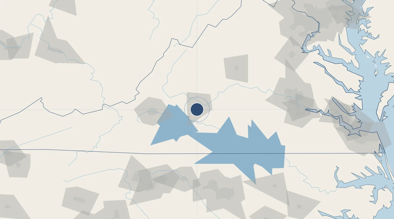
37.3267°, -79.2004°
7,100 ft
Longest runway
2
Runways
938 ft
Elevation
Runway & Layout

Radio Frequencies
ATIS
119.8 MHz
TWR
127.65 MHz
GND
121.9 MHz
CTAF
127.65 MHz
A/D
125.47 MHz
ROANOKE APP/DEP
RDO
109.2 MHz
LEESBURG RDO
UNIC
122.95 MHz
UNICOM
Navaids
LY NDB Bojar 385 kHz
LYH VORTAC Lynchburg 109.20 MHz
Runways · 2
| Runway | Dimensions | Surface | True heading | Lit |
|---|---|---|---|---|
| 04/22 | 7,100 × 150ft | Asphalt | 028° | ✓ |
| 17/35 | 3,386 × 75ft | Asphalt | 161° | ✓ |
Airport Specifications
IATA code
LYH
ICAO code
KLYH
Airport class
Medium airport
Scheduled service
Yes
Runway surface
Asphalt
Served city
Lynchburg
Location
Nearby Logistics Neighbours
Airports
Cities
- 1Lawyers3 km
- 2Forest9 km
- 3Madison Heights14 km
- 4Monroe20 km
- 5Brookneal39 km
Ports
- 1Richmond159 km
- 2Fredericksburg188 km
- 3West Point213 km
- 4Yorktown239 km
- 5Newport News249 km
Trade Zones
- 1FTZ No. 238 Dublin135 km
- 2FTZ No. 207 Richmond146 km
- 3FTZ No. 230 Piedmont Triad Area152 km
- 4FTZ No. 093 Raleigh Durham160 km
- 5FTZ No. 185 Culpeper County164 km
DatabookThe Record of Consolidated Knowledge
United States beyond logistics?