Medium airport · United States

Danville Regional AirportKDAN
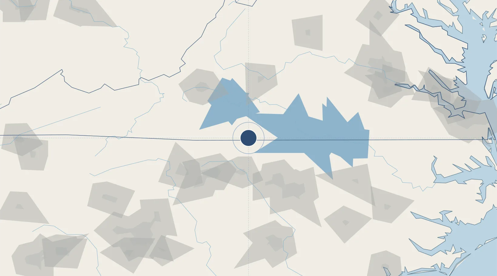
36.5729°, -79.3361°
5,900 ft
Longest runway
2
Runways
571 ft
Elevation

Runway & Layout

Danville Regional Airport runway & taxiway layout
Runway & taxiway layout — OpenStreetMap (ODbL) / OurAirports

Radio Frequencies

ASOS
128.125 MHz
CNTR
124.05 MHz
WASHINGTON CNTR
RDO
122.2 MHz
LEESBURG RDO
UNIC
123.05 MHz
CTAF/UNICOM
OurAirports

Navaids

DAN VOR Danville 113.10 MHz
OurAirports

Runways · 2

RunwayDimensions SurfaceTrue headingLit
02/20 5,900 × 100ft Asphalt 016°
13/31 3,910 × 100ft Asphalt 125°
OurAirports

Airport Specifications

IATA code
DAN
OurAirports
ICAO code
KDAN
OurAirports
Airport class
Medium airport
OurAirports
Scheduled service
No
OurAirports
Runway surface
Asphalt
OurAirports
Served city
Danville
OurAirports

Location

Location of KDAN
Natural Earth 10m (public domain) · Virginia · KDAN · 36.57, -79.34GoogleOSMYandex

Nearby Logistics Neighbours

Airports
  1. 1Lake Country Regional Airport69 km
  2. 2Piedmont Triad International Airport75 km
  3. 3Lynchburg Regional Airport - Preston Glenn Field85 km
  4. 4Raleigh-Durham International Airport92 km
  5. 5Smith Reynolds Airport93 km
Nearest neighbours — logibook spatial index (haversine) over the source coordinates
Cities
  1. 1Sutherlin15 km
  2. 2Dry Fork, Pittsylvania21 km
  3. 3Semora21 km
  4. 4Oak Hill, Pittsylvania24 km
  5. 5Alton30 km
Nearest neighbours — logibook spatial index (haversine) over the source coordinates
Ports
  1. 1Richmond201 km
  2. 2Washington235 km
  3. 3Plymouth245 km
  4. 4West Point249 km
  5. 5Edenton251 km
Nearest neighbours — logibook spatial index (haversine) over the source coordinates
Trade Zones
  1. 1FTZ No. 093 Raleigh Durham84 km
  2. 2FTZ No. 230 Piedmont Triad Area84 km
  3. 3FTZ No. 238 Dublin135 km
  4. 4FTZ No. 207 Richmond190 km
  5. 5FTZ No. 214 Lenoir County199 km
Nearest neighbours — logibook spatial index (haversine) over the source coordinates
DatabookThe Record of Consolidated Knowledge
United States beyond logistics?
Browse databook

All Sources

AirportsOurAirports
Public domain
Portsthe NGA World Port Index
Public domain (US gov)
LocationsUN/LOCODE
UN/LOCODE — free
Trade Zonesthe World Bank SEZ database
CC BY 4.0
Trade ZonesOpen Zone Map
CC BY
InfrastructureOpenStreetMap
ODbL 1.0
← United States airports