Transport Functions
Port
Hub Profile
Place type
Populated place
Region
Virginia
Time zone
America/New_York
Elevation
331 m
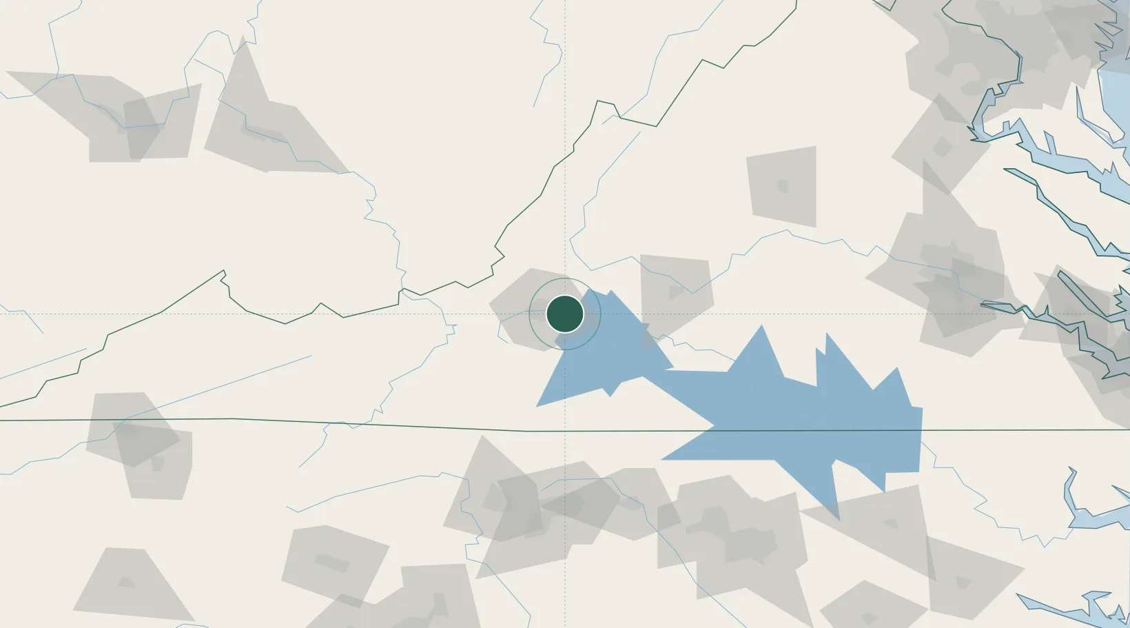
Location
Nearby Logistics Neighbours
Cities
- 1Botetourt8 km
- 2Daleville16 km
- 3Moneta23 km
- 4Buchanan32 km
- 5Eagle Rock, Botetourt41 km
Ports
- 1Richmond217 km
- 2Fredericksburg240 km
- 3West Point271 km
- 4Yorktown297 km
- 5Alexandria300 km
Airports
Trade Zones
- 1FTZ No. 238 Dublin78 km
- 2FTZ No. 230 Piedmont Triad Area123 km
- 3FTZ No. 093 Raleigh Durham173 km
- 4FTZ No. 229 Charleston203 km
- 5FTZ No. 207 Richmond204 km
DatabookThe Record of Consolidated Knowledge
United States beyond logistics?