Foreign Trade Zone · United States

FTZ No. 229 Charleston Active
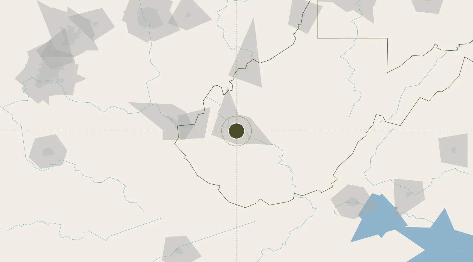
38.3434°, -81.7136°
347.3 km
Nearest port
11.0 km
Nearest airport

Gateway access

Nearest neighbours — logibook spatial index (haversine) over the source coordinates

Zone profile

Zone type
Foreign Trade Zone
Open Zone Map
Region
West Virginia
Open Zone Map
Status
Active
Open Zone Map
Management
Public-Private Partnership
Open Zone Map
Operator
West Virginia Economic Development Authority
Open Zone Map
Legal framework
Foreign-Trade Zones Act
Open Zone Map

Location

Location of ozm-4943
Natural Earth 10m (public domain) · West Virginia · ozm-4943 · 38.34, -81.71GoogleOSMYandex

Nearby Logistics Neighbours

Ports
  1. 1Huron347 km
  2. 2Vermilion348 km
  3. 3Lorain350 km
  4. 4Cleveland351 km
  5. 5Sandusky356 km
Nearest neighbours — logibook spatial index (haversine) over the source coordinates
Airports
  1. 1Yeager Airport11 km
  2. 2Tri-State Airport / Milton J. Ferguson Field74 km
  3. 3Raleigh County Memorial Airport81 km
  4. 4Mid Ohio Valley Regional Airport114 km
  5. 5Mercer County Airport125 km
Nearest neighbours — logibook spatial index (haversine) over the source coordinates
Cities
  1. 1Saint Albans10 km
  2. 2Cross Lanes10 km
  3. 3Poca16 km
  4. 4Rand17 km
  5. 5Scott Depot20 km
Nearest neighbours — logibook spatial index (haversine) over the source coordinates
Trade Zones
  1. 1FTZ No. 238 Dublin165 km
  2. 2FTZ No. 138 Franklin County195 km
  3. 3FTZ No. 204 Tri-Cities216 km
  4. 4FTZ No. 054 Clinton County216 km
  5. 5FTZ No. 046 CIncinnati257 km
Nearest neighbours — logibook spatial index (haversine) over the source coordinates
DatabookThe Record of Consolidated Knowledge
United States beyond logistics?
Browse databook

All Sources

Trade ZonesOpen Zone Map
CC BY
Portsthe NGA World Port Index
Public domain (US gov)
AirportsOurAirports
Public domain
LocationsUN/LOCODE
UN/LOCODE — free
← United States trade zones