Medium airport · United States

Greenbrier Valley AirportKLWB
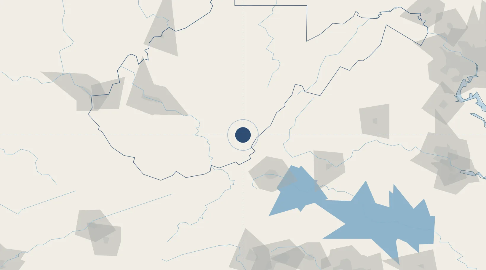
37.8579°, -80.4004°
7,003 ft
Longest runway
1
Runways
2,302 ft
Elevation

Runway & Layout

Greenbrier Valley Airport runway & taxiway layout
Runway & taxiway layout — OpenStreetMap (ODbL) / OurAirports

Radio Frequencies

AWOS
121.4 MHz
AWOS 3
TWR
118.9 MHz
LEWISBURG TWR
GND
121.9 MHz
CLD
120.85 MHz
CLNC DEL
CTAF
118.9 MHz
CNTR
134.4 MHz
WASHINGTON CNTR
UNIC
122.95 MHz
UNICOM
OurAirports

Runways · 1

RunwayDimensions SurfaceTrue headingLit
04/22 7,003 × 150ft Asphalt 035°
OurAirports

Airport Specifications

IATA code
LWB
OurAirports
ICAO code
KLWB
OurAirports
Airport class
Medium airport
OurAirports
Scheduled service
Yes
OurAirports
Runway surface
Asphalt
OurAirports
Served city
Lewisburg
OurAirports

Location

Location of KLWB
Natural Earth 10m (public domain) · West Virginia · KLWB · 37.86, -80.40GoogleOSMYandex

Nearby Logistics Neighbours

Airports
  1. 1Raleigh County Memorial Airport64 km
  2. 2Roanoke–Blacksburg Regional Airport70 km
  3. 3Mercer County Airport95 km
  4. 4Yeager Airport119 km
  5. 5Lynchburg Regional Airport - Preston Glenn Field121 km
Nearest neighbours — logibook spatial index (haversine) over the source coordinates
Cities
  1. 1Union, Monroe33 km
  2. 2Rainelle34 km
  3. 3Richwood42 km
  4. 4Renick44 km
  5. 5Low Moor46 km
Nearest neighbours — logibook spatial index (haversine) over the source coordinates
Ports
  1. 1Fredericksburg263 km
  2. 2Richmond265 km
  3. 3Alexandria312 km
  4. 4Washington D.C.314 km
  5. 5West Point319 km
Nearest neighbours — logibook spatial index (haversine) over the source coordinates
Trade Zones
  1. 1FTZ No. 238 Dublin89 km
  2. 2FTZ No. 229 Charleston127 km
  3. 3FTZ No. 230 Piedmont Triad Area187 km
  4. 4FTZ No. 185 Culpeper County216 km
  5. 5FTZ No. 204 Tri-Cities235 km
Nearest neighbours — logibook spatial index (haversine) over the source coordinates
DatabookThe Record of Consolidated Knowledge
United States beyond logistics?
Browse databook

All Sources

AirportsOurAirports
Public domain
Portsthe NGA World Port Index
Public domain (US gov)
LocationsUN/LOCODE
UN/LOCODE — free
Trade Zonesthe World Bank SEZ database
CC BY 4.0
Trade ZonesOpen Zone Map
CC BY
InfrastructureOpenStreetMap
ODbL 1.0
← United States airports