UN/LOCODE hub · United States
USBJH
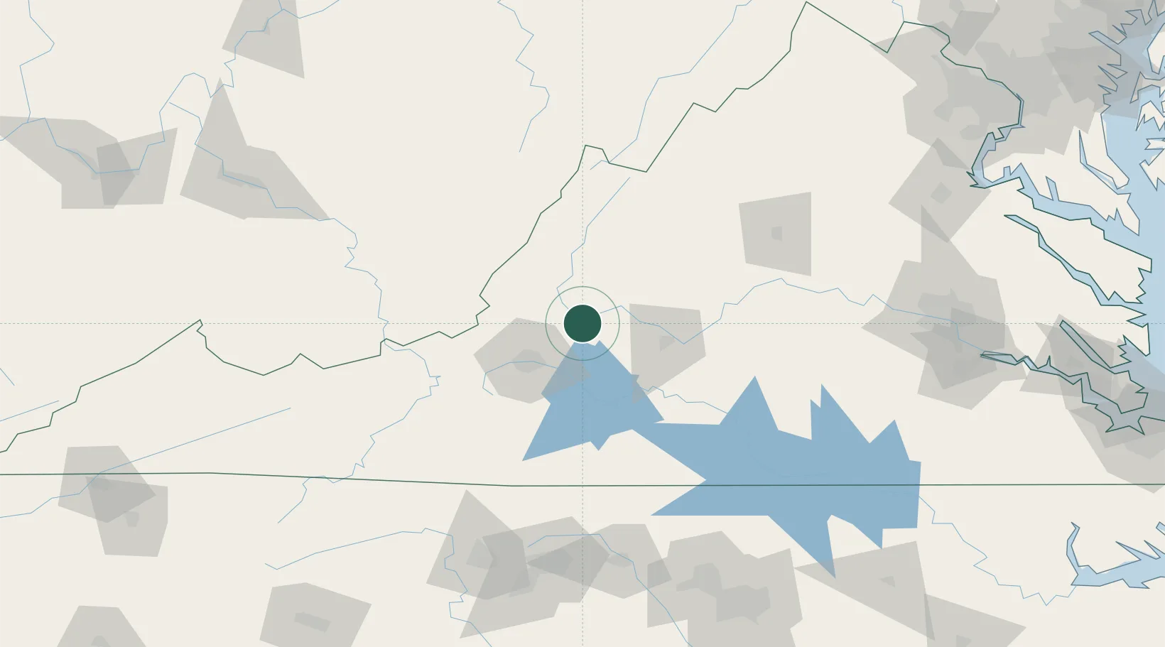
Buchanan
37.5167°, -79.6667°
1,178
Population
2
Transport functions
Transport Functions
Rail
Road
Hub Profile
Place type
Populated place
Region
Virginia
Population
1,178
Time zone
America/New_York
Elevation
259 m
Location
Nearby Logistics Neighbours
Cities
- 1Eagle Rock, Botetourt18 km
- 2Glasgow23 km
- 3Daleville26 km
- 4Botetourt28 km
- 5Wirtz29 km
Ports
- 1Richmond198 km
- 2Fredericksburg213 km
- 3West Point253 km
- 4Alexandria271 km
- 5Washington D.C.275 km
Airports
Trade Zones
- 1FTZ No. 238 Dublin103 km
- 2FTZ No. 230 Piedmont Triad Area154 km
- 3FTZ No. 185 Culpeper County178 km
- 4FTZ No. 207 Richmond186 km
- 5FTZ No. 093 Raleigh Durham192 km
DatabookThe Record of Consolidated Knowledge
United States beyond logistics?