Channel & Berth Profile
Pilotage, Tugs & Services
Pilotage compulsoryYES
Potable waterYES
Diesel bunkersYES
MedicalYES
Facilities & Capabilities
Container—
Ro-Ro—
Liquid bulk—
Dry bulk—
Oil terminal—
Break bulk—
Dry dock—
RepairsNO
BunkeringYES
Rail link—
Dangerous cargo—
ISPS security—
Harbour Specifications
Harbour size
Very Small
Harbour type
River (Natural)
Shelter
Excellent
Water body
North Atlantic Ocean
Tidal range
0.6 m
Overhead limit
Yes
Pilotage
Yes
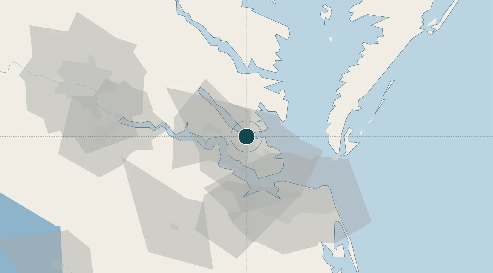
Location
Nearby Logistics Neighbours
Ports
- 1Newport News30 km
- 2West Point43 km
- 3Cape Charles43 km
- 4Norfolk46 km
- 5Portsmouth50 km
Cities
- 1Gloucester19 km
- 2New Point23 km
- 3Newmarket25 km
- 4Newport News28 km
- 5Cobbs Creek31 km
Airports
Trade Zones
DatabookThe Record of Consolidated Knowledge
United States beyond logistics?