Medium airport · United States

Mercer County AirportKBLF
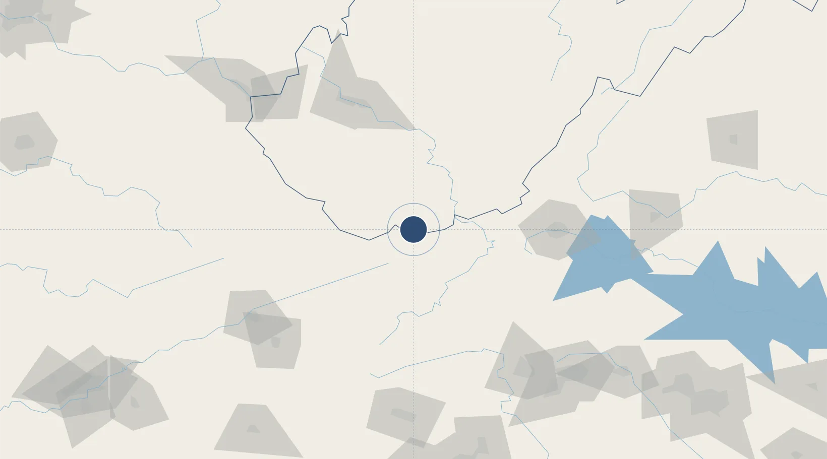
37.2958°, -81.2077°
4,743 ft
Longest runway
1
Runways
2,857 ft
Elevation

Runway & Layout

Mercer County Airport runway & taxiway layout
Runway & taxiway layout — OpenStreetMap (ODbL) / OurAirports

Radio Frequencies

ASOS
132.725 MHz
CTAF
122.9 MHz
CNTR
126.575 MHz
INDIANAPOLIS CNTR
RDO
122.2 MHz
ELKINS RDO
OurAirports

Runways · 1

RunwayDimensions SurfaceTrue headingLit
05/23 4,743 × 100ft Asphalt 042°
OurAirports

Airport Specifications

IATA code
BLF
OurAirports
ICAO code
KBLF
OurAirports
Airport class
Medium airport
OurAirports
Scheduled service
No
OurAirports
Runway surface
Asphalt
OurAirports
Served city
Bluefield
OurAirports

Location

Location of KBLF
Natural Earth 10m (public domain) · West Virginia · KBLF · 37.30, -81.21GoogleOSMYandex

Nearby Logistics Neighbours

Airports
  1. 1Raleigh County Memorial Airport55 km
  2. 2Greenbrier Valley Airport95 km
  3. 3Roanoke–Blacksburg Regional Airport109 km
  4. 4Yeager Airport125 km
  5. 5Tri-Cities Regional TN/VA Airport140 km
Nearest neighbours — logibook spatial index (haversine) over the source coordinates
Cities
  1. 1Bluefield6 km
  2. 2Bluefield8 km
  3. 3Tazewell34 km
  4. 4Mullens36 km
  5. 5Rich Creek36 km
Nearest neighbours — logibook spatial index (haversine) over the source coordinates
Ports
  1. 1Richmond336 km
  2. 2Fredericksburg349 km
  3. 3West Point390 km
  4. 4Alexandria402 km
  5. 5Washington D.C.405 km
Nearest neighbours — logibook spatial index (haversine) over the source coordinates
Trade Zones
  1. 1FTZ No. 238 Dublin50 km
  2. 2FTZ No. 229 Charleston125 km
  3. 3FTZ No. 204 Tri-Cities140 km
  4. 4FTZ No. 230 Piedmont Triad Area155 km
  5. 5FTZ No. 057 Mecklenburg County227 km
Nearest neighbours — logibook spatial index (haversine) over the source coordinates
DatabookThe Record of Consolidated Knowledge
United States beyond logistics?
Browse databook

All Sources

AirportsOurAirports
Public domain
Portsthe NGA World Port Index
Public domain (US gov)
LocationsUN/LOCODE
UN/LOCODE — free
Trade Zonesthe World Bank SEZ database
CC BY 4.0
Trade ZonesOpen Zone Map
CC BY
InfrastructureOpenStreetMap
ODbL 1.0
← United States airports