Seaport · United States
RichmondUSRIC
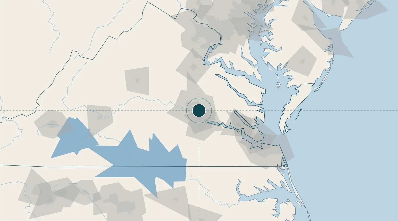
37.5333°, -77.4167°
4.9 m
Channel depth
9.7
Port liner connectivity
Channel & Berth Profile
Pilotage, Tugs & Services
Pilotage compulsoryYES
Tug assistanceYES
Shore powerYES
Potable waterYES
Diesel bunkersYES
MedicalYES
Garbage disposalYES
Facilities & Capabilities
Container—
Ro-Ro—
Liquid bulk—
Dry bulk—
Oil terminal—
Break bulk—
Dry dockNO
RepairsNO
BunkeringYES
Rail linkYES
Dangerous cargo—
ISPS security—
Harbour Specifications
Harbour size
Very Small
Harbour type
River (Natural)
Shelter
Excellent
Water body
North Atlantic Ocean
Tidal range
1.2 m
Overhead limit
Yes
Pilotage
Yes
Liner Connectivity
9.7
PLSCI
Port Liner Shipping Connectivity Index for Richmond, as published by UNCTAD for the latest available quarter. Higher values indicate stronger scheduled liner-shipping integration.
Shown relative to the highest per-port PLSCI in the dataset (1,657.9).
Location
Nearby Logistics Neighbours
Ports
- 1West Point54 km
- 2Fredericksburg85 km
- 3Yorktown88 km
- 4Piney Point102 km
- 5Newport News107 km
Cities
- 1Charles City25 km
- 2Manquin30 km
- 3Rockville30 km
- 4Oilville37 km
- 5King William40 km
Airports
Trade Zones
DatabookThe Record of Consolidated Knowledge
United States beyond logistics?