UN/LOCODE hub · United States
USOKO

Oklahoma

30.1500°, -95.5833°
2
Transport functions

Transport Functions

Road
Multimodal
UN/LOCODE

Hub Profile

Place type
Populated place
GeoNames
Region
Texas
GeoNames
Time zone
America/Chicago
GeoNames
Elevation
51 m
GeoNames

Location

Location of USOKO
Natural Earth 10m (public domain) · Texas · USOKO · 30.15, -95.58GoogleOSMYandex

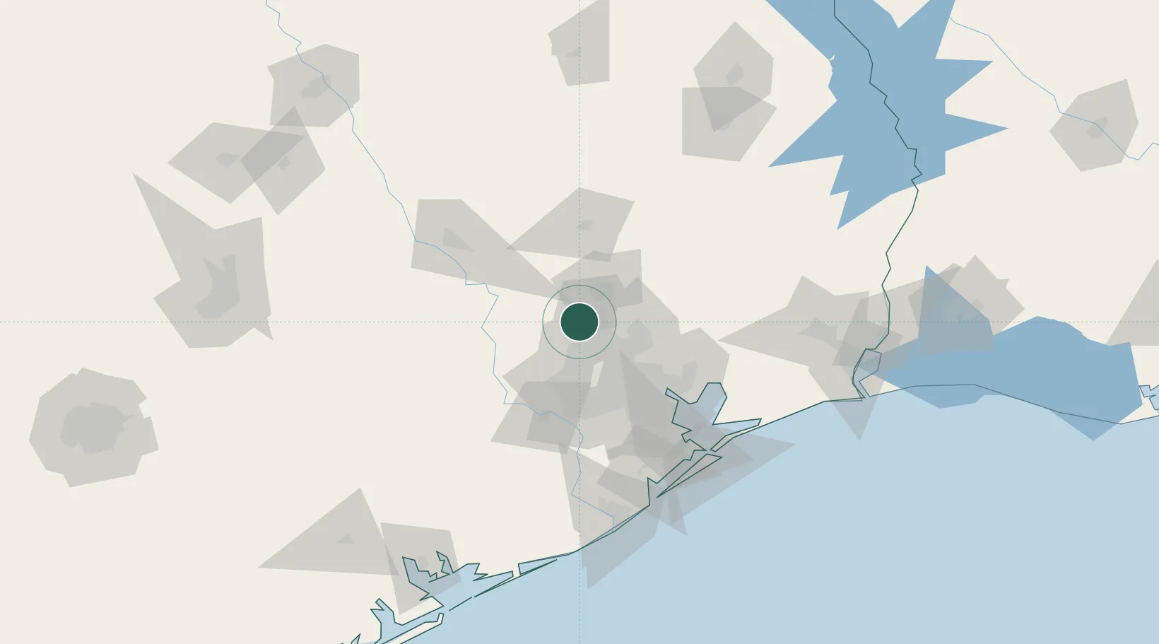
Nearby Logistics Neighbours

Cities
  1. 1Magnolia17 km
  2. 2North Houston27 km
  3. 3Montgomery28 km
  4. 4New Caney37 km
  5. 5Spring Valley42 km
Nearest neighbours — logibook spatial index (haversine) over the source coordinates
Ports
  1. 1Deer Park51 km
  2. 2Houston53 km
  3. 3Pasadena60 km
  4. 4Baytown72 km
  5. 5Texas City107 km
Nearest neighbours — logibook spatial index (haversine) over the source coordinates
Airports
  1. 1Conroe-North Houston Regional Airport28 km
  2. 2George Bush Intercontinental Airport30 km
  3. 3Sugar Land Regional Airport59 km
  4. 4William P. Hobby Airport63 km
  5. 5Huntsville Regional Airport66 km
Nearest neighbours — logibook spatial index (haversine) over the source coordinates
Trade Zones
  1. 1FTZ No. 084 Harris County47 km
  2. 2FTZ No. 171 Liberty County48 km
  3. 3FTZ No. 199 Texas City106 km
  4. 4FTZ No. 036 Galveston121 km
  5. 5FTZ No. 115 Beaumont134 km
Nearest neighbours — logibook spatial index (haversine) over the source coordinates
DatabookThe Record of Consolidated Knowledge
United States beyond logistics?
Browse databook

All Sources

LocationsUN/LOCODE
UN/LOCODE — free
Portsthe NGA World Port Index
Public domain (US gov)
AirportsOurAirports
Public domain
Trade Zonesthe World Bank SEZ database
CC BY 4.0
Trade ZonesOpen Zone Map
CC BY
← United States locations