UN/LOCODE hub · United States
USN2R

North Houston

29.9167°, -95.5000°
2
Transport functions

Transport Functions

Port
Road
UN/LOCODE

Hub Profile

Place type
Populated place
GeoNames
Region
Texas
GeoNames
Time zone
America/Chicago
GeoNames
Elevation
35 m
GeoNames

Location

Location of USN2R
Natural Earth 10m (public domain) · Texas · USN2R · 29.92, -95.50GoogleOSMYandex

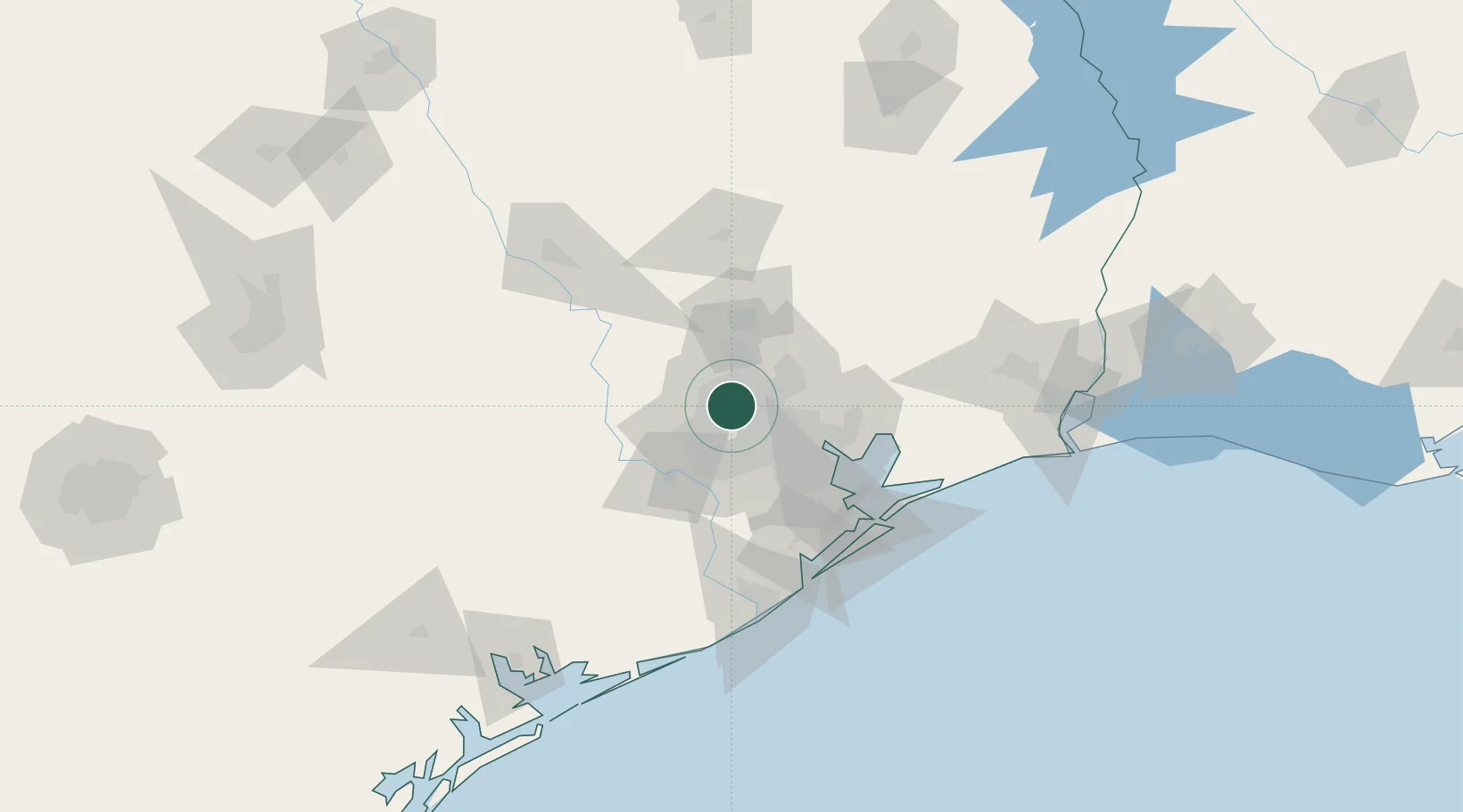
Nearby Logistics Neighbours

Cities
  1. 1Spring Valley15 km
  2. 2Englewood Yard24 km
  3. 3Oklahoma27 km
  4. 4Houston30 km
  5. 5Jacinto City31 km
Nearest neighbours — logibook spatial index (haversine) over the source coordinates
Ports
  1. 1Deer Park25 km
  2. 2Houston28 km
  3. 3Pasadena35 km
  4. 4Baytown51 km
  5. 5Texas City82 km
Nearest neighbours — logibook spatial index (haversine) over the source coordinates
Airports
  1. 1George Bush Intercontinental Airport17 km
  2. 2Sugar Land Regional Airport36 km
  3. 3William P. Hobby Airport37 km
  4. 4Ellington Airport48 km
  5. 5Conroe-North Houston Regional Airport49 km
Nearest neighbours — logibook spatial index (haversine) over the source coordinates
Trade Zones
  1. 1FTZ No. 084 Harris County23 km
  2. 2FTZ No. 171 Liberty County50 km
  3. 3FTZ No. 199 Texas City81 km
  4. 4FTZ No. 036 Galveston96 km
  5. 5FTZ No. 149 Freeport109 km
Nearest neighbours — logibook spatial index (haversine) over the source coordinates
DatabookThe Record of Consolidated Knowledge
United States beyond logistics?
Browse databook

All Sources

LocationsUN/LOCODE
UN/LOCODE — free
Portsthe NGA World Port Index
Public domain (US gov)
AirportsOurAirports
Public domain
Trade Zonesthe World Bank SEZ database
CC BY 4.0
Trade ZonesOpen Zone Map
CC BY
← United States locations