Transport Functions
Rail
Road
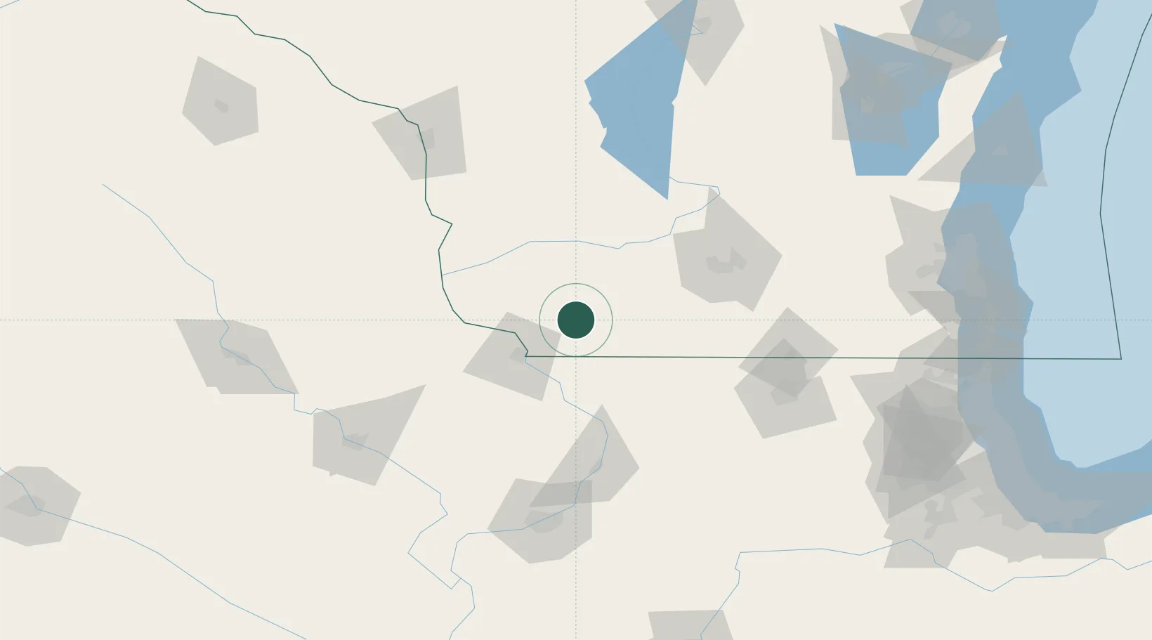
Hub Profile
Place type
Populated place
Region
Wisconsin
Population
986
Time zone
America/Chicago
Elevation
327 m
Location
Nearby Logistics Neighbours
Cities
- 1Platteville11 km
- 2Mineral Point, Iowa19 km
- 3Shullsburg20 km
- 4Darlington21 km
- 5Cobb26 km
Ports
- 1Milwaukee202 km
- 2Kenosha207 km
- 3Racine208 km
- 4Waukegan210 km
- 5Great Lakes211 km
Airports
Trade Zones
- 1FTZ No. 271 Jo-Daviess and Carroll Counties47 km
- 2FTZ No. 266 Dane County63 km
- 3FTZ No. 176 Rockford107 km
- 4FTZ No. 175 Cedar Rapids148 km
- 5FTZ No. 041 Milwaukee185 km
DatabookThe Record of Consolidated Knowledge
United States beyond logistics?