Transport Functions
Rail
Road
Hub Profile
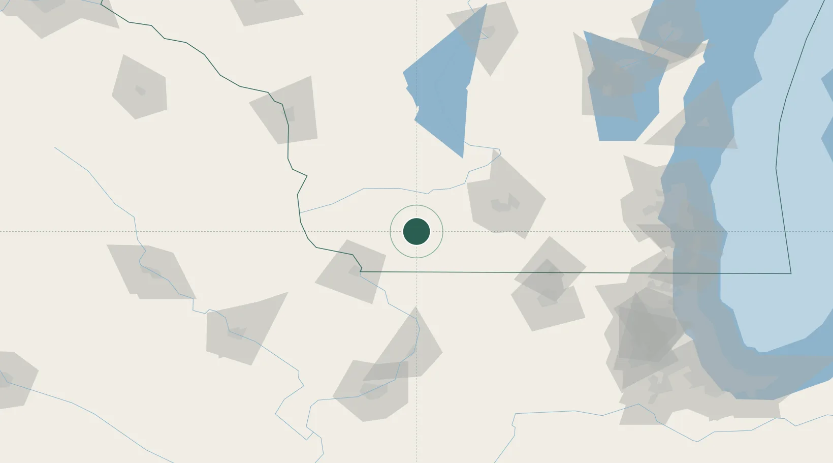
Region
WI
Location
Nearby Logistics Neighbours
Cities
- 1Cobb19 km
- 2Belmont19 km
- 3Darlington21 km
- 4Platteville28 km
- 5Shullsburg32 km
Ports
- 1Milwaukee187 km
- 2Kenosha194 km
- 3Racine195 km
- 4Port Washington196 km
- 5Waukegan200 km
Airports
- 1Dubuque Regional Airport67 km
- 2Dane County Regional Truax Field75 km
- 3Chicago Rockford International Airport114 km
- 4Volk Field121 km
- 5La Crosse Regional Airport144 km
Trade Zones
- 1FTZ No. 266 Dane County45 km
- 2FTZ No. 271 Jo-Daviess and Carroll Counties60 km
- 3FTZ No. 176 Rockford103 km
- 4FTZ No. 175 Cedar Rapids167 km
- 5FTZ No. 041 Milwaukee169 km
DatabookThe Record of Consolidated Knowledge
United States beyond logistics?