UN/LOCODE hub · United States
USTTZ
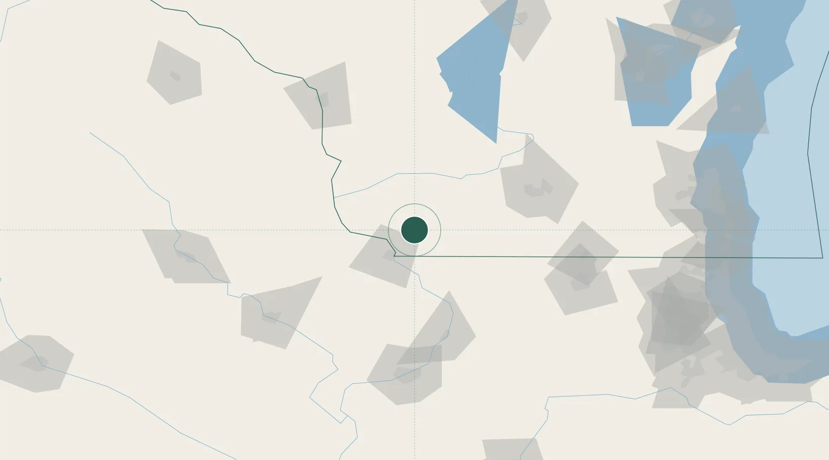
Platteville
42.7333°, -90.4667°
12,572
Population
2
Transport functions
Transport Functions
Road
Multimodal
Hub Profile
Place type
Populated place
Region
Wisconsin
Population
12,572
Time zone
America/Chicago
Elevation
300 m
Location
Nearby Logistics Neighbours
Cities
- 1Belmont11 km
- 2Van Buren22 km
- 3Shullsburg27 km
- 4Mineral Point, Iowa28 km
- 5Cobb28 km
Ports
- 1Milwaukee213 km
- 2Kenosha217 km
- 3Racine219 km
- 4Waukegan221 km
- 5Great Lakes221 km
Airports
- 1Dubuque Regional Airport42 km
- 2Dane County Regional Truax Field102 km
- 3Chicago Rockford International Airport127 km
- 4Volk Field135 km
- 5The Eastern Iowa Airport139 km
Trade Zones
- 1FTZ No. 271 Jo-Daviess and Carroll Counties50 km
- 2FTZ No. 266 Dane County73 km
- 3FTZ No. 176 Rockford116 km
- 4FTZ No. 175 Cedar Rapids139 km
- 5FTZ No. 041 Milwaukee196 km
DatabookThe Record of Consolidated Knowledge
United States beyond logistics?