Transport Functions
Rail
Road
Hub Profile
Place type
Provincial seat
Region
Iowa
Population
3,654
Time zone
America/Chicago
Elevation
360 m
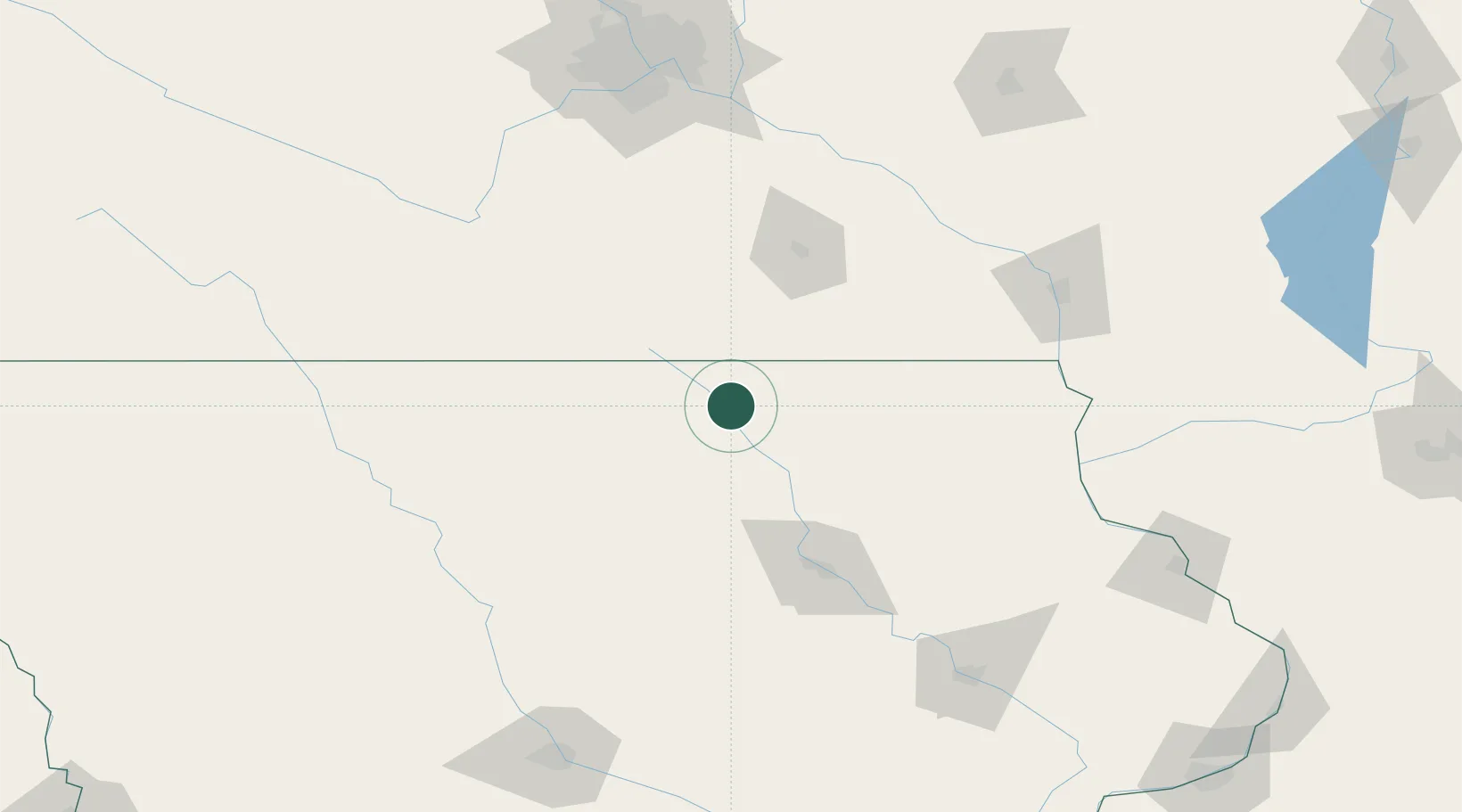
Location
Nearby Logistics Neighbours
Cities
- 1Saint Ansgar12 km
- 2Sheffield55 km
- 3Plainfield55 km
- 4Lake Mills60 km
- 5Shell Rock66 km
Ports
- 1Kaukauna382 km
- 2Superior388 km
- 3Duluth391 km
- 4Ashland399 km
- 5Port Washington401 km
Airports
Trade Zones
DatabookThe Record of Consolidated Knowledge
United States beyond logistics?