UN/LOCODE hub · United States
USJBU
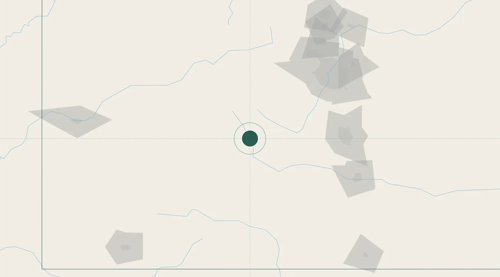
Buena Vista
38.8333°, -106.1333°
2,760
Population
2
Transport functions
Transport Functions
Rail
Road
Hub Profile
Place type
Populated place
Region
Colorado
Population
2,760
Time zone
America/Denver
Elevation
2,421 m
Location
Nearby Logistics Neighbours
Cities
- 1Nathrop10 km
- 2Granite27 km
- 3Climax59 km
- 4Hillside80 km
- 5Snowmass Village82 km
Ports
- 1Newport Beach1203 km
- 2San Diego1205 km
- 3Long Beach1217 km
- 4Los Angeles1223 km
- 5Rosarito1223 km
Airports
Trade Zones
- 1FTZ No. 112 Colorado Springs114 km
- 2FTZ No. 298 Jefferson County132 km
- 3FTZ No. 123 Denver141 km
- 4FTZ No. 293 Limon217 km
- 5FTZ No. 110 Albuquerque422 km
DatabookThe Record of Consolidated Knowledge
United States beyond logistics?