Transport Functions
Multimodal
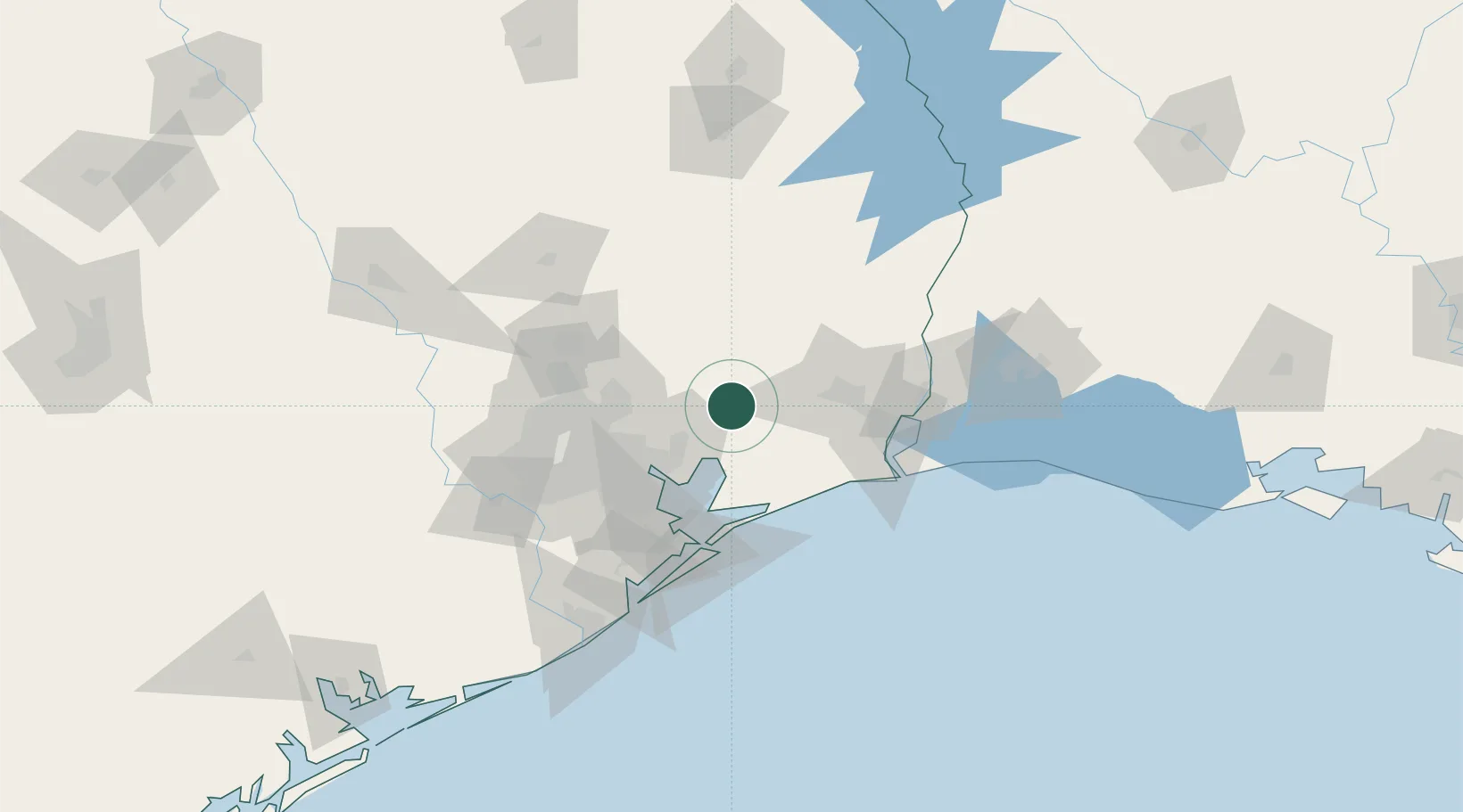
Hub Profile
Place type
Populated place
Region
Texas
Time zone
America/Chicago
Elevation
19 m
Location
Nearby Logistics Neighbours
Cities
- 1Hardin15 km
- 2Mont Belvieu30 km
- 3China32 km
- 4Winnie36 km
- 5Baytown42 km
Ports
- 1Baytown47 km
- 2Beaumont56 km
- 3Pasadena64 km
- 4Houston67 km
- 5Port Neches69 km
Airports
Trade Zones
- 1FTZ No. 171 Liberty County44 km
- 2FTZ No. 115 Beaumont45 km
- 3FTZ No. 116 Port Arthur59 km
- 4FTZ No. 084 Harris County67 km
- 5FTZ No. 199 Texas City76 km
DatabookThe Record of Consolidated Knowledge
United States beyond logistics?