Transport Functions
Rail
Road
Multimodal
Hub Profile
Place type
Populated place
Region
Alabama
Population
540
Time zone
America/Chicago
Elevation
82 m
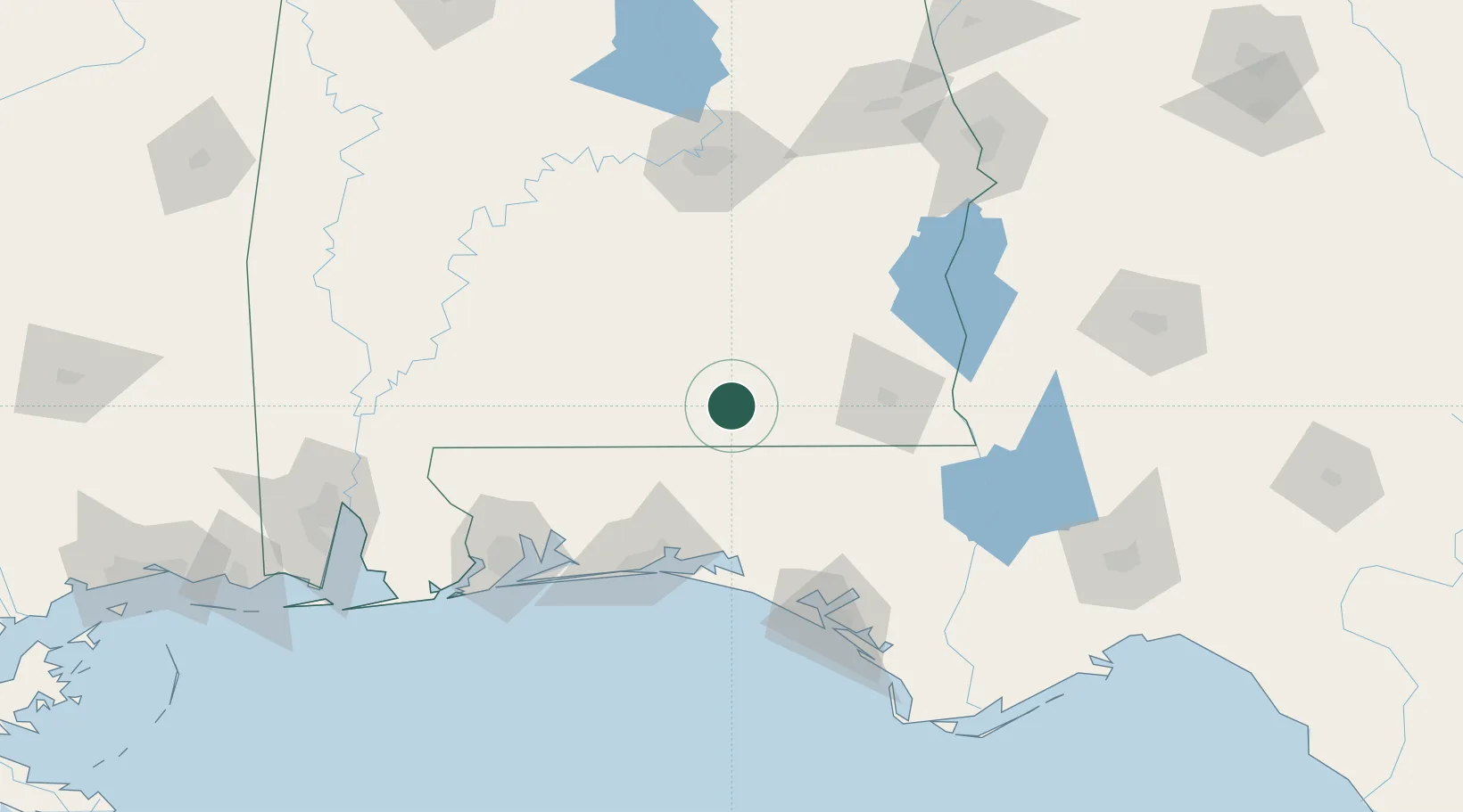
Location
Nearby Logistics Neighbours
Cities
- 1New Brockton31 km
- 2Brantley42 km
- 3Daleville44 km
- 4Fort Rucker45 km
- 5Hartford46 km
Ports
- 1Panama City129 km
- 2Pensacola134 km
- 3Port St Joe174 km
- 4Mobile195 km
- 5Apalachicola200 km
Airports
Trade Zones
- 1FTZ No. 233 Dothan70 km
- 2FTZ No. 065 Panama City118 km
- 3FTZ No. 222 Montgomery131 km
- 4FTZ No. 249 Pensacola135 km
- 5FTZ No. 082 Mobile192 km
DatabookThe Record of Consolidated Knowledge
United States beyond logistics?