UN/LOCODE hub · United States
USMG4
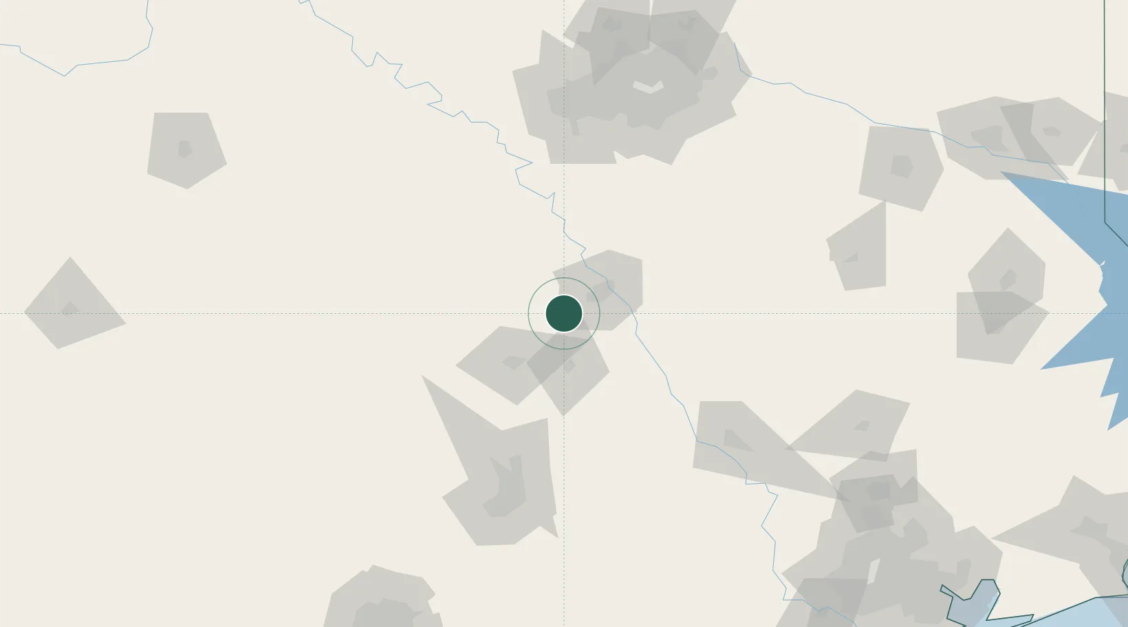
McGregor
31.4333°, -97.4000°
5,064
Population
2
Transport functions
Transport Functions
Rail
Road
Hub Profile
Place type
Populated place
Region
Texas
Population
5,064
Time zone
America/Chicago
Elevation
211 m
Location
Nearby Logistics Neighbours
Cities
- 1Hewitt19 km
- 2Woodway20 km
- 3Bruceville21 km
- 4Pendleton26 km
- 5Elm Mott40 km
Ports
- 1Deer Park272 km
- 2Houston276 km
- 3Pasadena283 km
- 4Baytown296 km
- 5Port Lavaca322 km
Airports
Trade Zones
- 1FTZ No. 246 Waco19 km
- 2FTZ No. 113 Ellis County103 km
- 3FTZ No. 183 Austin134 km
- 4FTZ No. 168 Dallas Fort Worth146 km
- 5FTZ No. 196 Fort Worth153 km
DatabookThe Record of Consolidated Knowledge
United States beyond logistics?