Transport Functions
Rail
Road
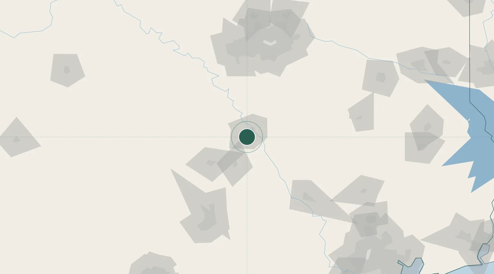
Hub Profile
Place type
Populated place
Region
Texas
Population
8,777
Time zone
America/Chicago
Elevation
193 m
Location
Nearby Logistics Neighbours
Cities
- 1Hewitt4 km
- 2McGregor20 km
- 3Bruceville21 km
- 4Elm Mott22 km
- 5Pendleton36 km
Ports
- 1Deer Park264 km
- 2Houston267 km
- 3Pasadena275 km
- 4Baytown287 km
- 5Texas City321 km
Airports
Trade Zones
- 1FTZ No. 246 Waco8 km
- 2FTZ No. 113 Ellis County91 km
- 3FTZ No. 168 Dallas Fort Worth141 km
- 4FTZ No. 269 Athens146 km
- 5FTZ No. 183 Austin147 km
DatabookThe Record of Consolidated Knowledge
United States beyond logistics?