Medium airport · United States

Draughon Miller Central Texas Regional AirportKTPL
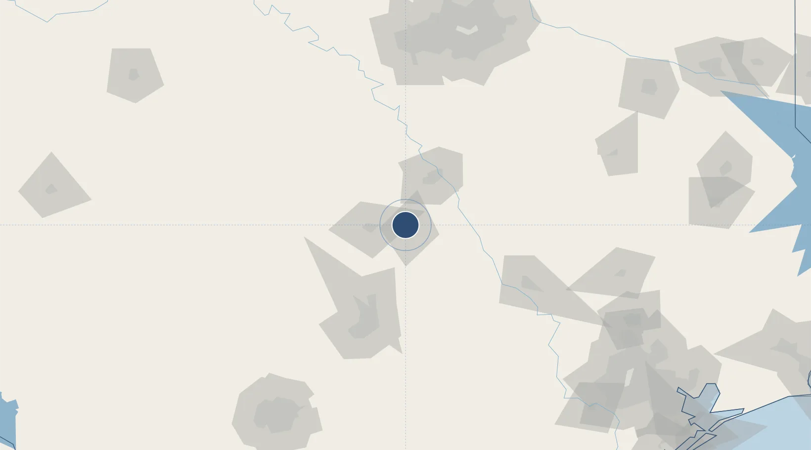
31.1525°, -97.4078°
7,000 ft
Longest runway
2
Runways
682 ft
Elevation

Runway & Layout

Draughon Miller Central Texas Regional Airport runway & taxiway layout
Runway & taxiway layout — OpenStreetMap (ODbL) / OurAirports

Radio Frequencies

AWOS
134.975 MHz
AWOS 3
CLD
125.9 MHz
CLNC DEL
A/D
120.075 MHz
GRAY APP/DEP
RDO
110.4 MHz
SAN ANGELO RDO
UNIC
123 MHz
CTAF/UNICOM
OurAirports

Runways · 2

RunwayDimensions SurfaceTrue headingLit
16/34 7,000 × 150ft Asphalt 163°
03/21 4,740 × 100ft Asphalt 028°
OurAirports

Airport Specifications

IATA code
TPL
OurAirports
ICAO code
KTPL
OurAirports
Airport class
Medium airport
OurAirports
Scheduled service
No
OurAirports
Runway surface
Asphalt
OurAirports
Served city
Temple
OurAirports

Location

Location of KTPL
Natural Earth 10m (public domain) · Texas · KTPL · 31.15, -97.41GoogleOSMYandex

Nearby Logistics Neighbours

Airports
  1. 1Killeen Regional Airport / Robert Gray Army Airfield41 km
  2. 2Waco Regional Airport54 km
  3. 3Austin Executive Airport85 km
  4. 4Austin Bergstrom International Airport109 km
  5. 5Easterwood Field118 km
Nearest neighbours — logibook spatial index (haversine) over the source coordinates
Cities
  1. 1Pendleton8 km
  2. 2Bruceville25 km
  3. 3Harker Heights26 km
  4. 4McGregor31 km
  5. 5Rogers32 km
Nearest neighbours — logibook spatial index (haversine) over the source coordinates
Ports
  1. 1Deer Park253 km
  2. 2Houston257 km
  3. 3Pasadena264 km
  4. 4Baytown278 km
  5. 5Port Lavaca292 km
Nearest neighbours — logibook spatial index (haversine) over the source coordinates
Trade Zones
  1. 1FTZ No. 246 Waco47 km
  2. 2FTZ No. 183 Austin104 km
  3. 3FTZ No. 113 Ellis County133 km
  4. 4FTZ No. 168 Dallas Fort Worth177 km
  5. 5FTZ No. 196 Fort Worth184 km
Nearest neighbours — logibook spatial index (haversine) over the source coordinates
DatabookThe Record of Consolidated Knowledge
United States beyond logistics?
Browse databook

All Sources

AirportsOurAirports
Public domain
Portsthe NGA World Port Index
Public domain (US gov)
LocationsUN/LOCODE
UN/LOCODE — free
Trade Zonesthe World Bank SEZ database
CC BY 4.0
Trade ZonesOpen Zone Map
CC BY
InfrastructureOpenStreetMap
ODbL 1.0
← United States airports