Transport Functions
Rail
Road
Hub Profile
Place type
Populated place
Region
Texas
Time zone
America/Chicago
Elevation
229 m
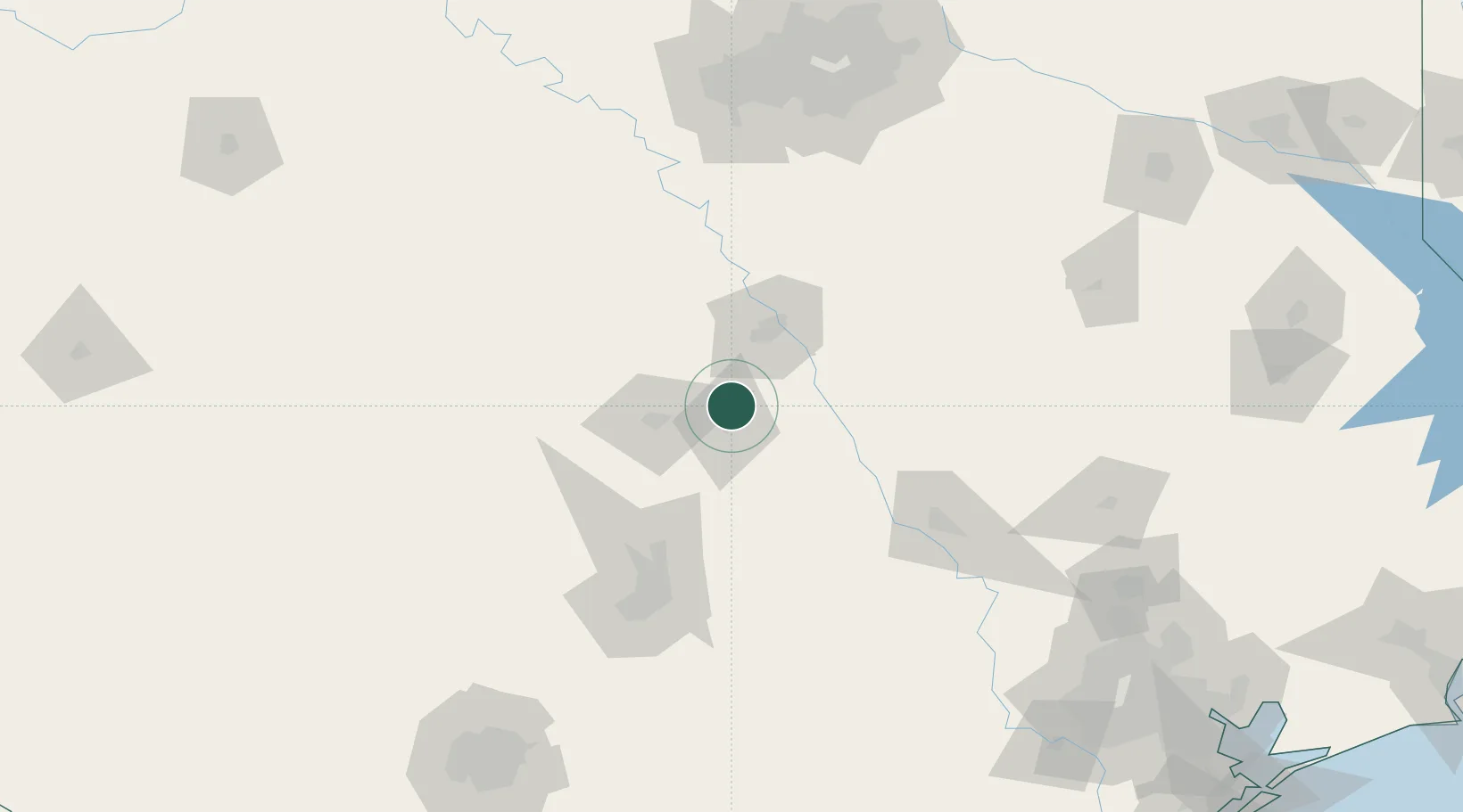
Location
Nearby Logistics Neighbours
Cities
- 1Bruceville17 km
- 2McGregor26 km
- 3Harker Heights33 km
- 4Hewitt33 km
- 5Rogers34 km
Ports
- 1Deer Park252 km
- 2Houston255 km
- 3Pasadena263 km
- 4Baytown277 km
- 5Port Lavaca296 km
Airports
Trade Zones
- 1FTZ No. 246 Waco40 km
- 2FTZ No. 183 Austin110 km
- 3FTZ No. 113 Ellis County126 km
- 4FTZ No. 168 Dallas Fort Worth172 km
- 5FTZ No. 269 Athens177 km
DatabookThe Record of Consolidated Knowledge
United States beyond logistics?