Medium airport · United States

Mid-Way Regional AirportKJWY
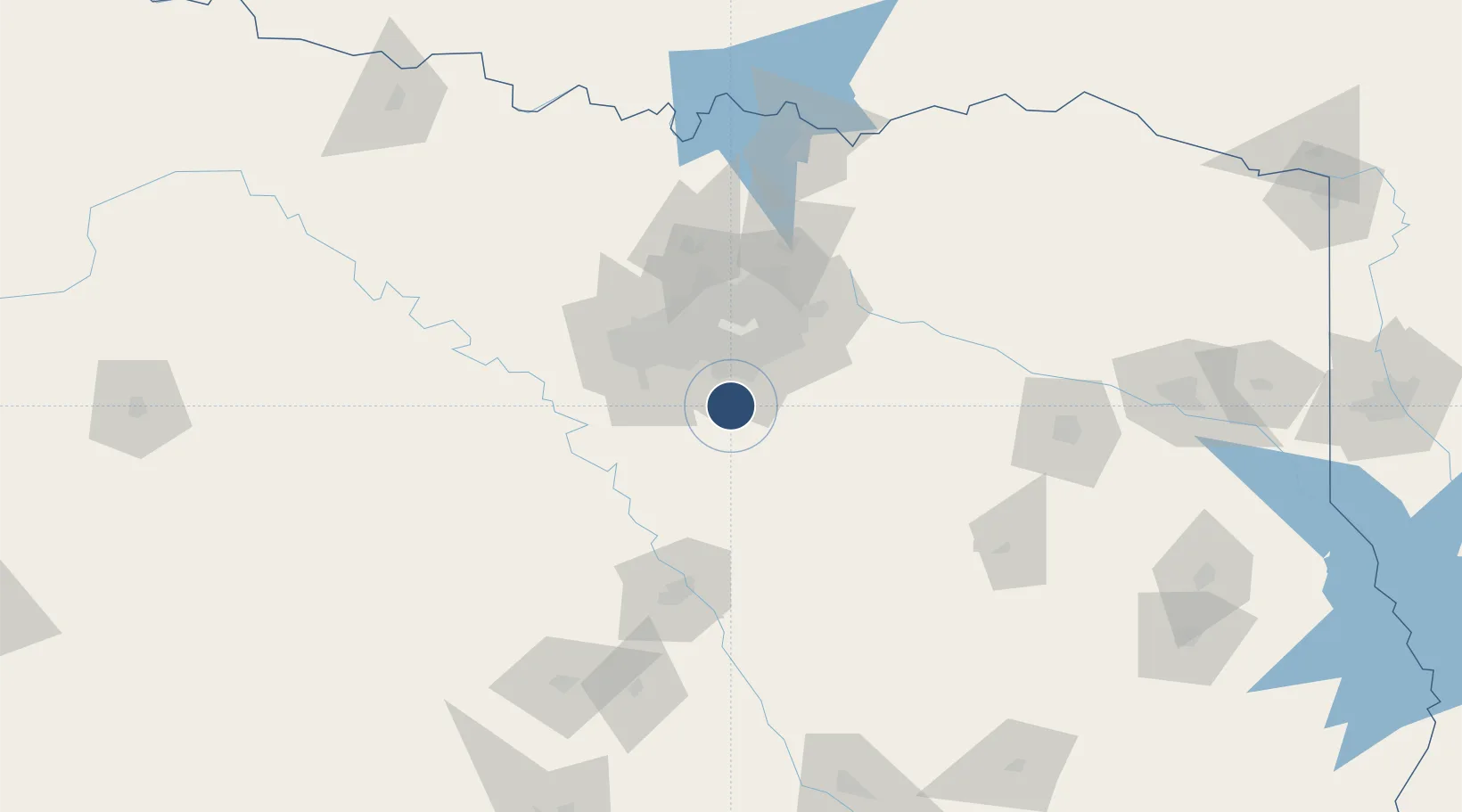
32.4587°, -96.9124°
6,500 ft
Longest runway
1
Runways
713 ft
Elevation

Runway & Layout

Mid-Way Regional Airport runway & taxiway layout
Runway & taxiway layout — OpenStreetMap (ODbL) / OurAirports

Radio Frequencies

AWOS
119.575 MHz
AWOS 3
A/D
125.2 MHz
REGIONAL APP/DEP
UNIC
122.975 MHz
CTAF/UNICOM
OurAirports

Runways · 1

RunwayDimensions SurfaceTrue headingLit
18/36 6,500 × 100ft Asphalt 184°
OurAirports

Airport Specifications

ICAO code
KJWY
OurAirports
Airport class
Medium airport
OurAirports
Scheduled service
No
OurAirports
Runway surface
Asphalt
OurAirports
Served city
Midlothian/Waxahachie
OurAirports

Location

Location of KJWY
Natural Earth 10m (public domain) · Texas · KJWY · 32.46, -96.91GoogleOSMYandex

Nearby Logistics Neighbours

Airports
  1. 1Dallas Love Field43 km
  2. 2Dallas Fort Worth International Airport50 km
  3. 3Fort Worth Meacham International Airport58 km
  4. 4NAS Fort Worth JRB / Carswell Field60 km
  5. 5Perot Field/Fort Worth Alliance Airport70 km
Nearest neighbours — logibook spatial index (haversine) over the source coordinates
Cities
  1. 1Red Oak12 km
  2. 2Cedar Hill14 km
  3. 3De Soto15 km
  4. 4Duncanville24 km
  5. 5Wilmer24 km
Nearest neighbours — logibook spatial index (haversine) over the source coordinates
Ports
  1. 1Deer Park337 km
  2. 2Houston339 km
  3. 3Pasadena345 km
  4. 4Baytown353 km
  5. 5Beaumont377 km
Nearest neighbours — logibook spatial index (haversine) over the source coordinates
Trade Zones
  1. 1FTZ No. 113 Ellis County20 km
  2. 2FTZ No. 168 Dallas Fort Worth65 km
  3. 3FTZ No. 196 Fort Worth72 km
  4. 4FTZ No. 269 Athens101 km
  5. 5FTZ No. 246 Waco106 km
Nearest neighbours — logibook spatial index (haversine) over the source coordinates
DatabookThe Record of Consolidated Knowledge
United States beyond logistics?
Browse databook

All Sources

AirportsOurAirports
Public domain
Portsthe NGA World Port Index
Public domain (US gov)
LocationsUN/LOCODE
UN/LOCODE — free
Trade Zonesthe World Bank SEZ database
CC BY 4.0
Trade ZonesOpen Zone Map
CC BY
InfrastructureOpenStreetMap
ODbL 1.0
← United States airports