Transport Functions
Rail
Road
Hub Profile
Place type
Populated place
Region
Texas
Time zone
America/Chicago
Elevation
189 m
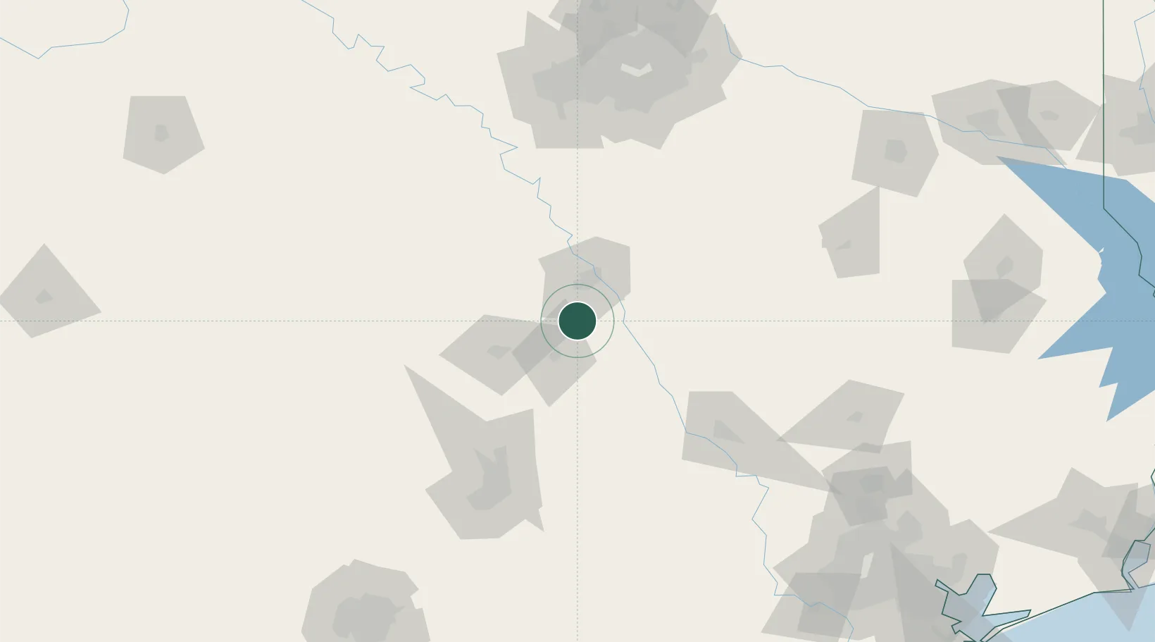
Location
Nearby Logistics Neighbours
Ports
- 1Deer Park252 km
- 2Houston255 km
- 3Pasadena263 km
- 4Baytown276 km
- 5Port Lavaca306 km
Airports
Trade Zones
- 1FTZ No. 246 Waco26 km
- 2FTZ No. 113 Ellis County111 km
- 3FTZ No. 183 Austin127 km
- 4FTZ No. 269 Athens160 km
- 5FTZ No. 168 Dallas Fort Worth161 km
DatabookThe Record of Consolidated Knowledge
United States beyond logistics?