Medium airport · United States
Waco Regional AirportKACT
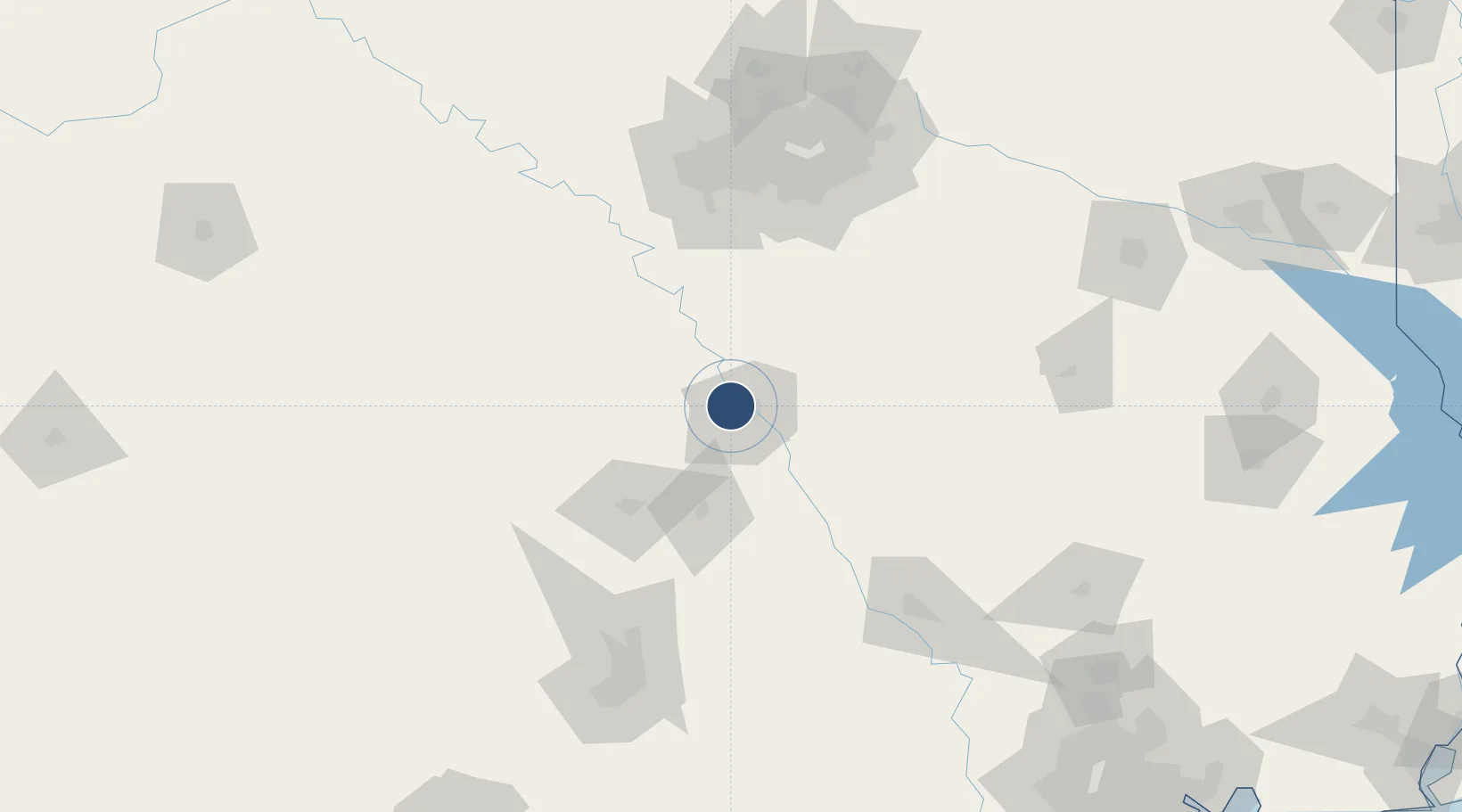
31.6113°, -97.2305°
7,107 ft
Longest runway
2
Runways
516 ft
Elevation
Runway & Layout

Radio Frequencies
ATIS
123.85 MHz
TWR
119.3 MHz
GND
121.9 MHz
APP
135.2 MHz
DEP
126.125 MHz
CTAF
119.3 MHz
RDO
122.15 MHz
FORT WORTH RDO
UNIC
122.95 MHz
UNICOM
Navaids
AC NDB Coffi 358 kHz
Runways · 2
| Runway | Dimensions | Surface | True heading | Lit |
|---|---|---|---|---|
| 01/19 | 7,107 × 150ft | Asphalt | 014° | ✓ |
| 14/32 | 5,103 × 150ft | Asphalt | 149° | ✓ |
Airport Specifications
IATA code
ACT
ICAO code
KACT
Airport class
Medium airport
Scheduled service
Yes
Runway surface
Asphalt
Served city
Waco
Location
Nearby Logistics Neighbours
Airports
Cities
- 1Woodway13 km
- 2Elm Mott15 km
- 3Hewitt16 km
- 4McGregor26 km
- 5Bruceville33 km
Ports
- 1Deer Park275 km
- 2Houston278 km
- 3Pasadena285 km
- 4Baytown297 km
- 5Texas City332 km
Trade Zones
- 1FTZ No. 246 Waco7 km
- 2FTZ No. 113 Ellis County79 km
- 3FTZ No. 168 Dallas Fort Worth129 km
- 4FTZ No. 196 Fort Worth136 km
- 5FTZ No. 269 Athens142 km
DatabookThe Record of Consolidated Knowledge
United States beyond logistics?