Transport Functions
Rail
Road
Hub Profile
Place type
Populated place
Region
Texas
Time zone
America/Chicago
Elevation
160 m
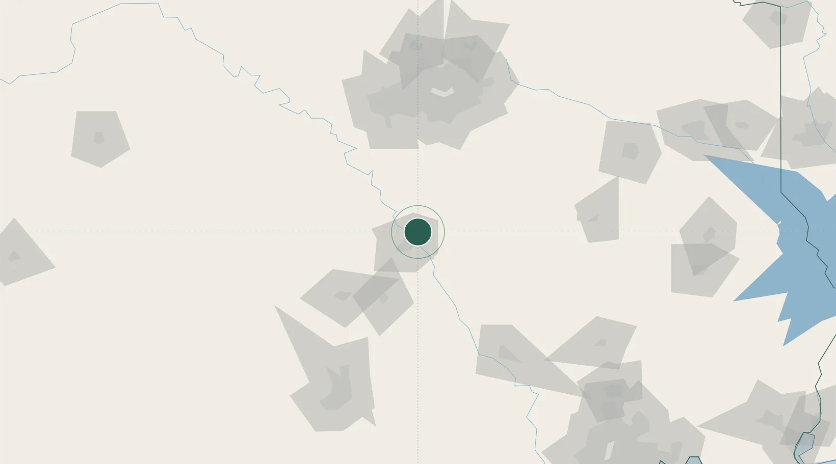
Location
Nearby Logistics Neighbours
Cities
- 1Woodway22 km
- 2Hewitt25 km
- 3Malone34 km
- 4McGregor40 km
- 5Bruceville41 km
Ports
- 1Deer Park271 km
- 2Houston274 km
- 3Pasadena281 km
- 4Baytown292 km
- 5Texas City328 km
Airports
Trade Zones
- 1FTZ No. 246 Waco21 km
- 2FTZ No. 113 Ellis County71 km
- 3FTZ No. 168 Dallas Fort Worth127 km
- 4FTZ No. 269 Athens127 km
- 5FTZ No. 196 Fort Worth134 km
DatabookThe Record of Consolidated Knowledge
United States beyond logistics?