Transport Functions
Rail
Road
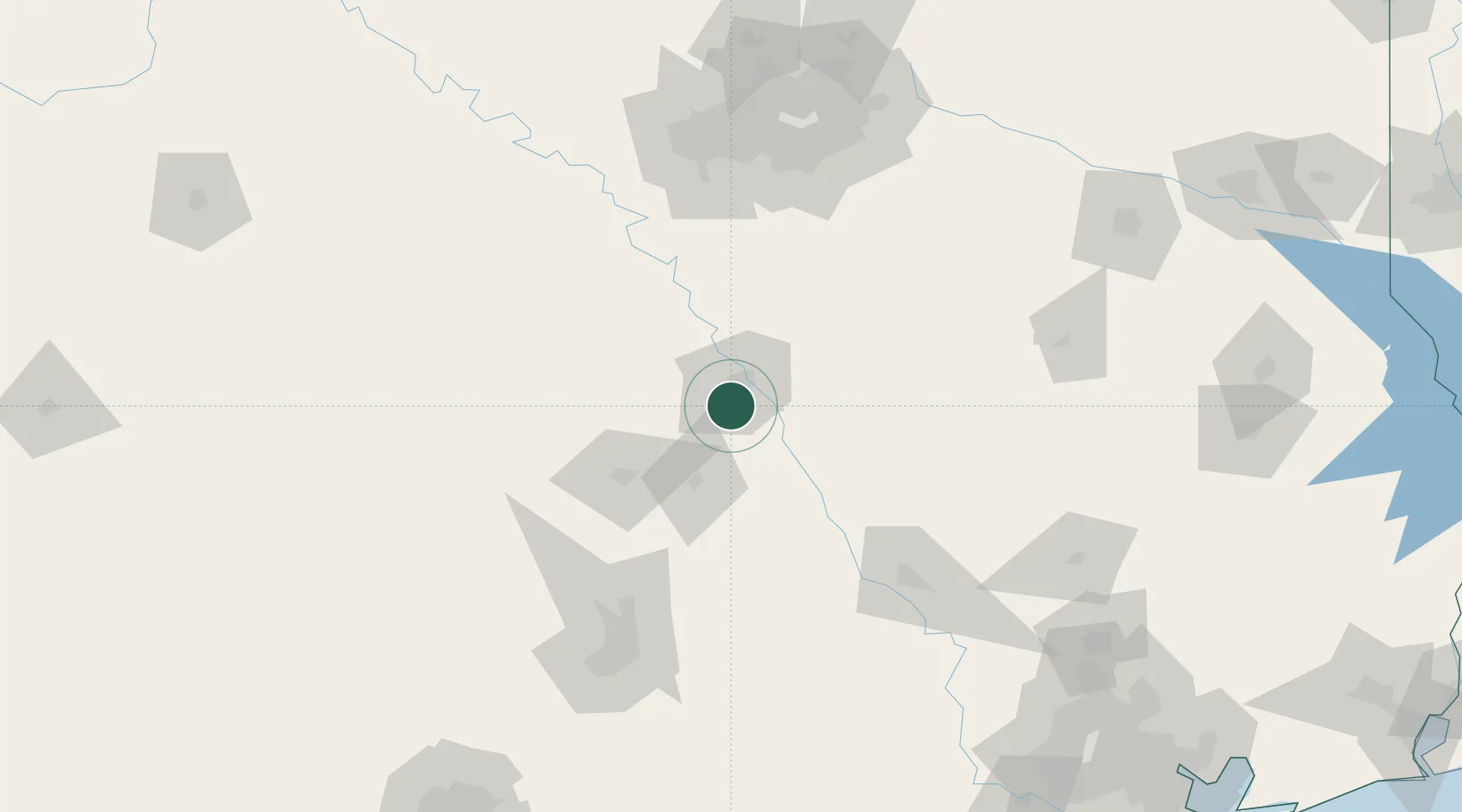
Hub Profile
Place type
Populated place
Region
Texas
Population
14,252
Time zone
America/Chicago
Elevation
197 m
Location
Nearby Logistics Neighbours
Cities
- 1Woodway4 km
- 2Bruceville17 km
- 3McGregor19 km
- 4Elm Mott25 km
- 5Pendleton33 km
Ports
- 1Deer Park261 km
- 2Houston265 km
- 3Pasadena272 km
- 4Baytown284 km
- 5Texas City319 km
Airports
Trade Zones
- 1FTZ No. 246 Waco11 km
- 2FTZ No. 113 Ellis County94 km
- 3FTZ No. 183 Austin143 km
- 4FTZ No. 168 Dallas Fort Worth145 km
- 5FTZ No. 269 Athens148 km
DatabookThe Record of Consolidated Knowledge
United States beyond logistics?