Transport Functions
Port
Hub Profile
Place type
Populated place
Region
Iowa
Population
397
Time zone
America/Chicago
Elevation
352 m
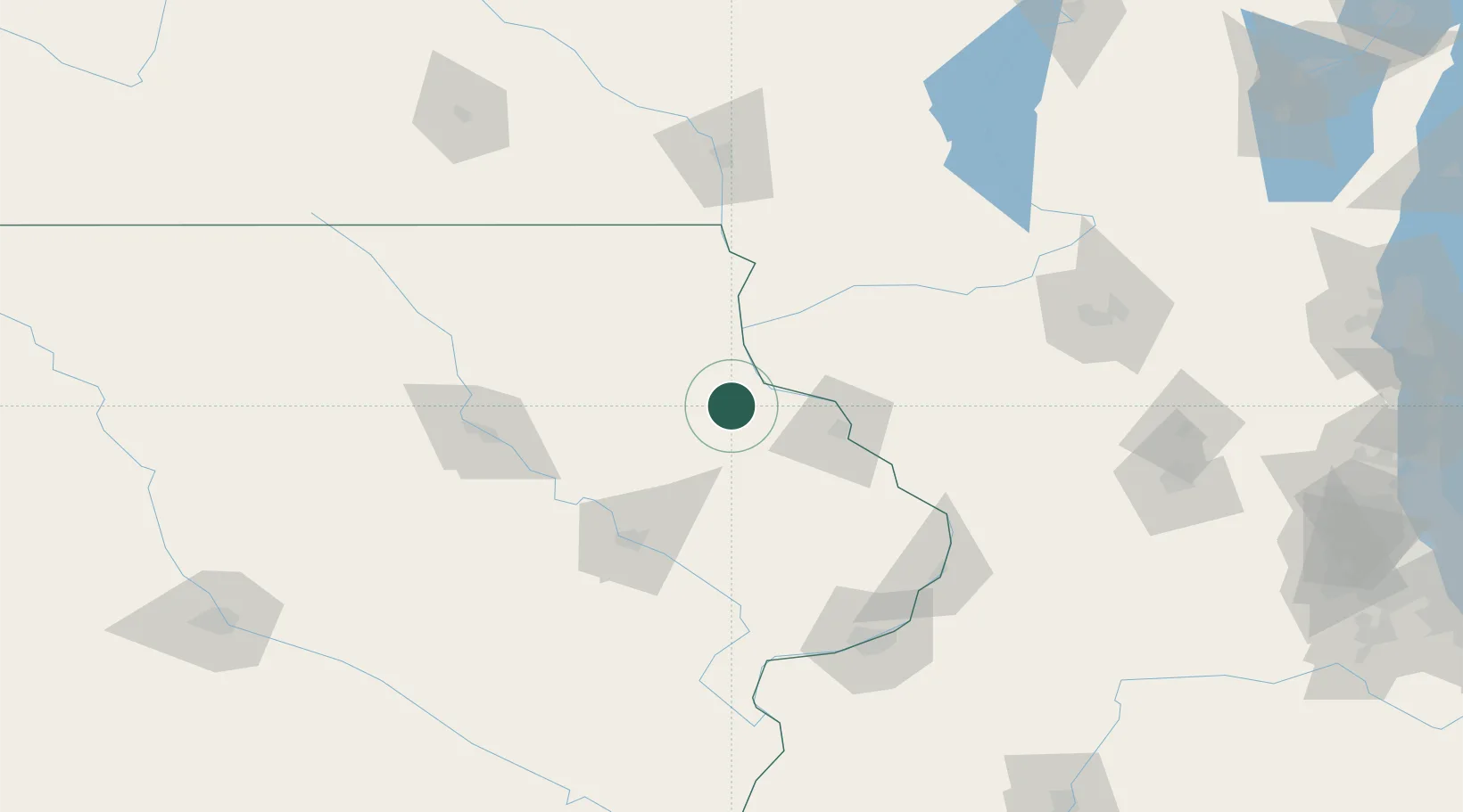
Location
Nearby Logistics Neighbours
Cities
- 1New Vienna14 km
- 2Edgewood17 km
- 3Earlville19 km
- 4Farley28 km
- 5Strawberry Point28 km
Ports
- 1Milwaukee274 km
- 2Kenosha277 km
- 3Great Lakes279 km
- 4Waukegan279 km
- 5Racine280 km
Airports
Trade Zones
- 1FTZ No. 271 Jo-Daviess and Carroll Counties86 km
- 2FTZ No. 175 Cedar Rapids89 km
- 3FTZ No. 266 Dane County131 km
- 4FTZ No. 176 Rockford169 km
- 5FTZ No. 055 Burlington203 km
DatabookThe Record of Consolidated Knowledge
United States beyond logistics?