UN/LOCODE hub · United States
USM88
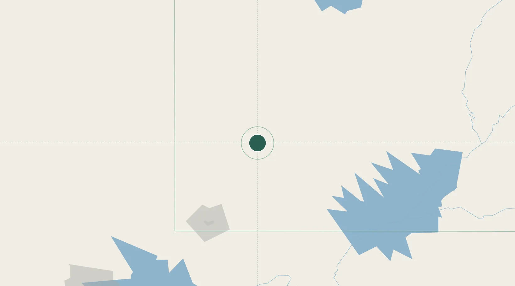
Minersville
38.2000°, -112.9167°
869
Population
1
Transport functions
Transport Functions
Multimodal
Hub Profile
Place type
Populated place
Region
Utah
Population
869
Time zone
America/Denver
Elevation
1,610 m
Location
Nearby Logistics Neighbours
Cities
- 1Circleville57 km
- 2Brian Head58 km
- 3Beryl73 km
- 4Kanosh79 km
- 5Enterprise, Washington99 km
Ports
- 1Newport Beach679 km
- 2Long Beach684 km
- 3El Segundo687 km
- 4Los Angeles689 km
- 5Ventura718 km
Airports
- 1Cedar City Regional Airport58 km
- 2Bryce Canyon Airport87 km
- 3St George Regional Airport140 km
- 4Mesquite Airport182 km
- 5Page Municipal Airport192 km
Trade Zones
- 1FTZ No. 030 Salt Lake City297 km
- 2FTZ No. 170 Clark County379 km
- 3FTZ No. 089 Clark County379 km
- 4FTZ No. 277 Western Maricopa County522 km
- 5FTZ No. 075 Phoenix534 km
DatabookThe Record of Consolidated Knowledge
United States beyond logistics?