Transport Functions
Road
Multimodal
Hub Profile
Place type
Populated place
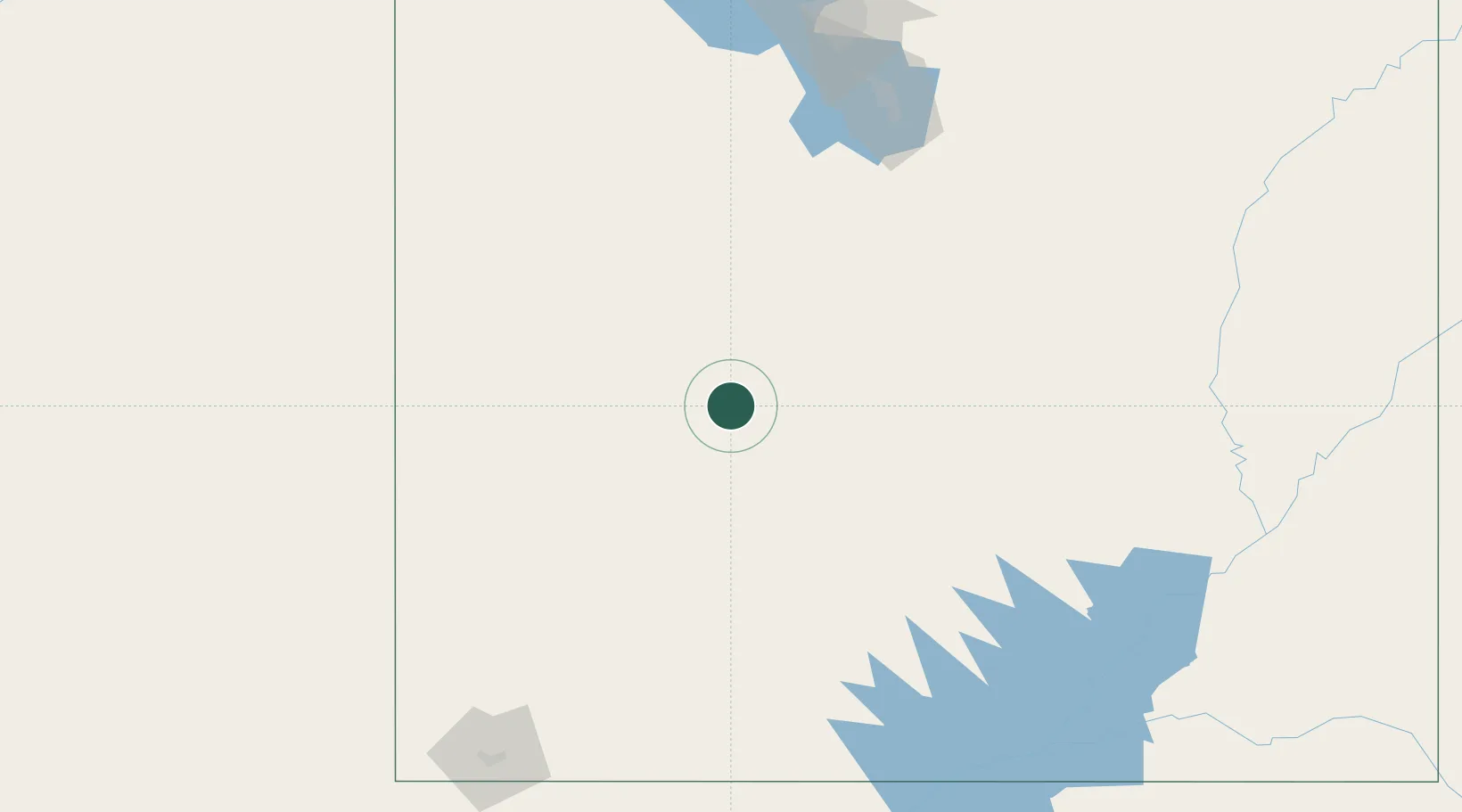
Region
Utah
Population
468
Time zone
America/Denver
Elevation
1,530 m
Location
Nearby Logistics Neighbours
Cities
- 1Sigurd41 km
- 2Aurora45 km
- 3Circleville72 km
- 4Minersville79 km
- 5Levan98 km
Ports
- 1Newport Beach757 km
- 2Long Beach761 km
- 3El Segundo764 km
- 4Los Angeles766 km
- 5Stockton778 km
Airports
- 1Bryce Canyon Airport124 km
- 2Cedar City Regional Airport135 km
- 3Provo Municipal Airport169 km
- 4South Valley Regional Airport206 km
- 5Ely Airport Yelland Field215 km
Trade Zones
- 1FTZ No. 030 Salt Lake City223 km
- 2FTZ No. 170 Clark County455 km
- 3FTZ No. 089 Clark County455 km
- 4FTZ No. 277 Western Maricopa County586 km
- 5FTZ No. 075 Phoenix596 km
DatabookThe Record of Consolidated Knowledge
United States beyond logistics?