UN/LOCODE hub · United States
USEEP
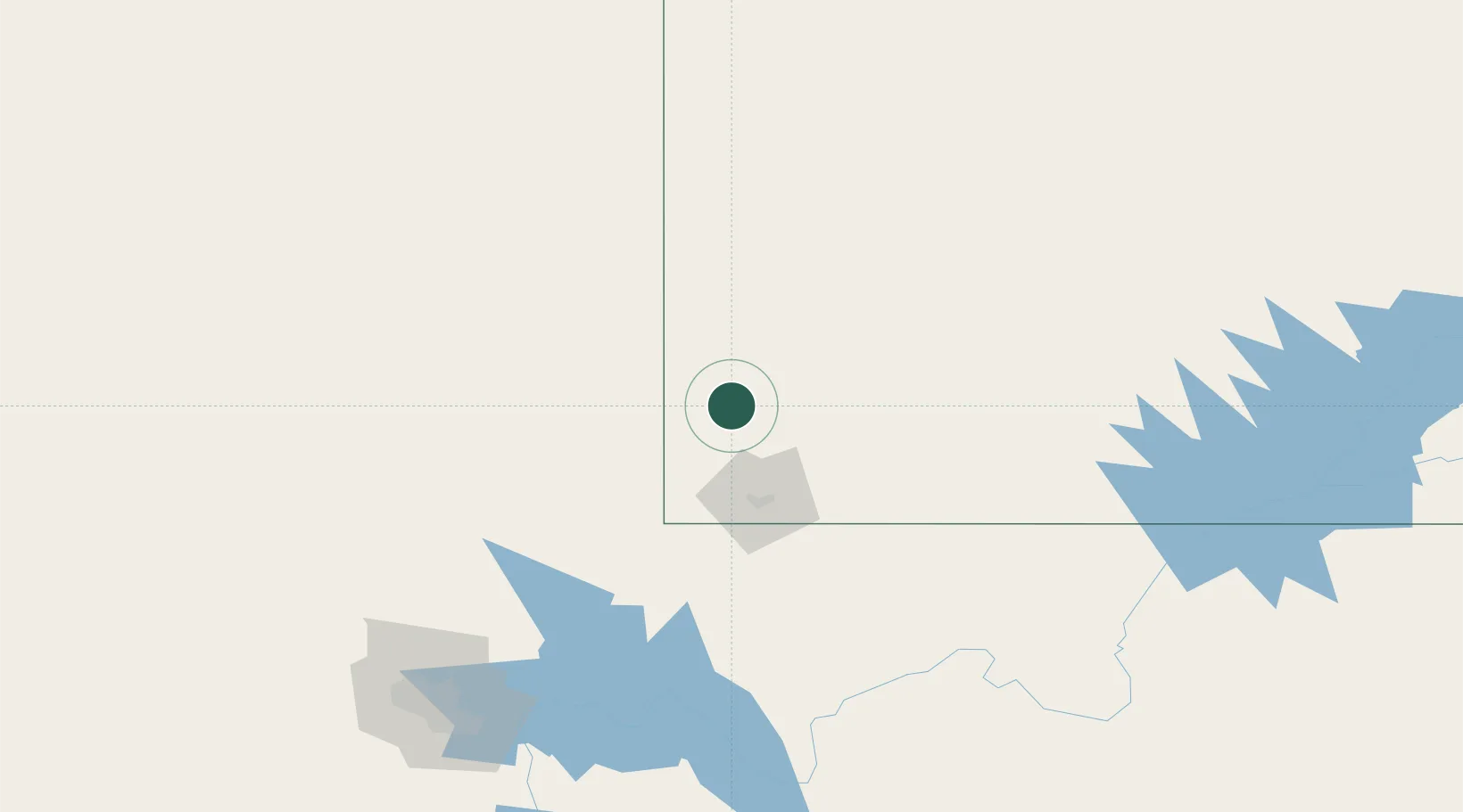
Enterprise, Washington
37.5667°, -113.7167°
2
Transport functions
Transport Functions
Road
Multimodal
Hub Profile
Region
UT
Location
Nearby Logistics Neighbours
Cities
- 1Beryl36 km
- 2Washington54 km
- 3Brian Head77 km
- 4Minersville99 km
- 5Glendale102 km
Ports
- 1Newport Beach580 km
- 2Long Beach584 km
- 3El Segundo588 km
- 4Los Angeles590 km
- 5Ventura620 km
Airports
- 1Cedar City Regional Airport56 km
- 2St George Regional Airport62 km
- 3Mesquite Airport87 km
- 4Bryce Canyon Airport139 km
- 5Homey (Area 51) Airport189 km
Trade Zones
- 1FTZ No. 170 Clark County280 km
- 2FTZ No. 089 Clark County280 km
- 3FTZ No. 030 Salt Lake City387 km
- 4FTZ No. 243 Victorville467 km
- 5FTZ No. 277 Western Maricopa County467 km
DatabookThe Record of Consolidated Knowledge
United States beyond logistics?