Medium airport · United States
Mesquite AirportK67L
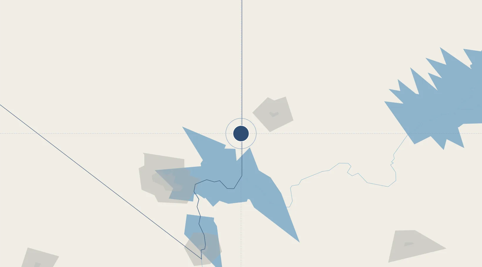
36.8331°, -114.0559°
5,100 ft
Longest runway
2
Runways
1,978 ft
Elevation
Runway & Layout

Radio Frequencies
AWOS
118.525 MHz
CNTR
124.2 MHz
LOS ANGELES CNTR
UNIC
122.8 MHz
CTAF/UNICOM
Runways · 2
| Runway | Dimensions | Surface | True heading | Lit |
|---|---|---|---|---|
| 01/19 | 5,100 × 75ft | Asphalt | 028° | ✓ |
| H1 | 20 × 20ft | Concrete | — | — |
Airport Specifications
IATA code
MFH
ICAO code
K67L
Airport class
Medium airport
Scheduled service
No
Runway surface
Asphalt
Served city
Mesquite
Location
Nearby Logistics Neighbours
Airports
- 1St George Regional Airport54 km
- 2Nellis Air Force Base110 km
- 3Boulder City Municipal Airport122 km
- 4North Las Vegas Airport123 km
- 5Cedar City Regional Airport128 km
Cities
- 1Overton, Clark48 km
- 2Washington59 km
- 3Enterprise, Washington87 km
- 4Nellis Air Force Base106 km
- 5Alamo113 km
Ports
- 1Newport Beach500 km
- 2Long Beach506 km
- 3Los Angeles512 km
- 4El Segundo512 km
- 5San Diego540 km
Trade Zones
- 1FTZ No. 170 Clark County208 km
- 2FTZ No. 089 Clark County208 km
- 3FTZ No. 243 Victorville390 km
- 4FTZ No. 277 Western Maricopa County402 km
- 5FTZ No. 236 Palm Springs402 km
DatabookThe Record of Consolidated Knowledge
United States beyond logistics?