Transport Functions
Multimodal
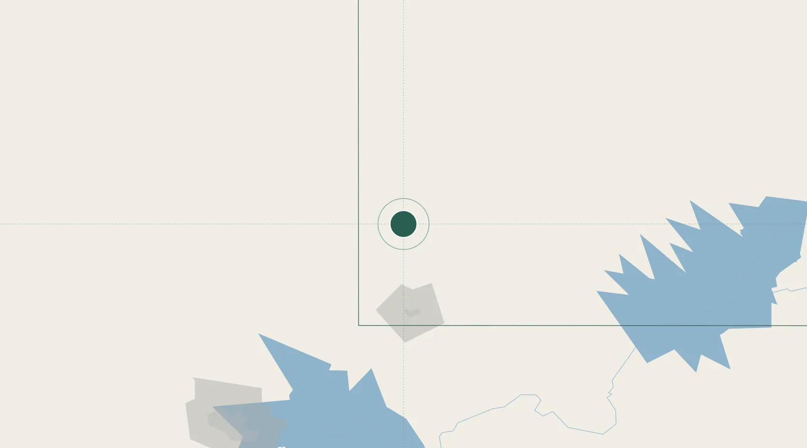
Hub Profile
Place type
Populated place
Region
Utah
Time zone
America/Denver
Elevation
1,571 m
Location
Nearby Logistics Neighbours
Cities
- 1Enterprise, Washington36 km
- 2Minersville73 km
- 3Brian Head74 km
- 4Washington86 km
- 5Glendale112 km
Ports
- 1Newport Beach610 km
- 2Long Beach614 km
- 3El Segundo616 km
- 4Los Angeles619 km
- 5Ventura645 km
Airports
- 1Cedar City Regional Airport53 km
- 2St George Regional Airport95 km
- 3Mesquite Airport122 km
- 4Bryce Canyon Airport134 km
- 5Ely Airport Yelland Field189 km
Trade Zones
- 1FTZ No. 170 Clark County308 km
- 2FTZ No. 089 Clark County308 km
- 3FTZ No. 030 Salt Lake City352 km
- 4FTZ No. 243 Victorville496 km
- 5FTZ No. 277 Western Maricopa County500 km
DatabookThe Record of Consolidated Knowledge
United States beyond logistics?