Foreign Trade Zone · United States
FTZ No. 089 Clark County Active
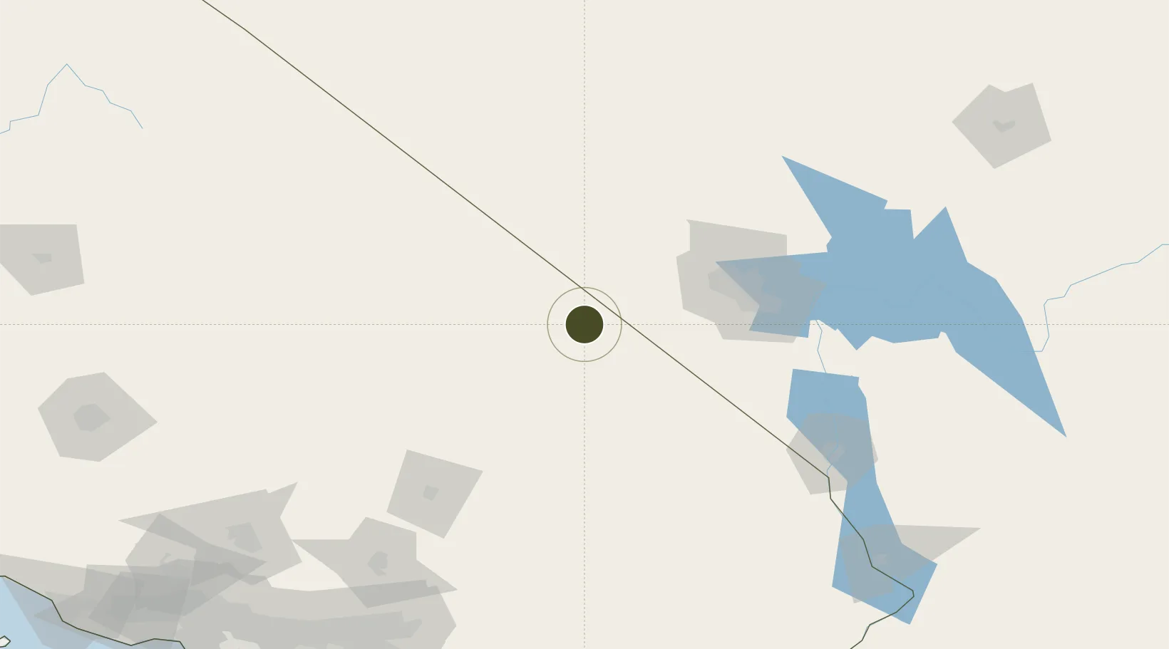
35.9225°, -116.0910°
305.0 km
Nearest port
77.7 km
Nearest airport
Gateway access
Zone profile
Zone type
Foreign Trade Zone
Region
California
Status
Active
Management
Public-Private Partnership
Operator
Las Vegas Global Economic Alliance
Legal framework
Foreign-Trade Zones Act
Location
Nearby Logistics Neighbours
Ports
- 1Newport Beach305 km
- 2Long Beach307 km
- 3El Segundo309 km
- 4Los Angeles312 km
- 5Ventura343 km
Airports
- 1Desert Rock Airport78 km
- 2Harry Reid International Airport86 km
- 3Bicycle Lake Army Air Field86 km
- 4North Las Vegas Airport87 km
- 5Nellis Air Force Base101 km
Cities
- 1Shoshone17 km
- 2Jean72 km
- 3Primm73 km
- 4North Las Vegas95 km
- 5Las Vegas97 km
Trade Zones
- 1FTZ No. 170 Clark County0 km
- 2FTZ No. 243 Victorville189 km
- 3FTZ No. 236 Palm Springs237 km
- 4FTZ No. 191 Palmdale237 km
- 5FTZ No. 244 Riverside County249 km
DatabookThe Record of Consolidated Knowledge
United States beyond logistics?