UN/LOCODE hub · United States
USB2H
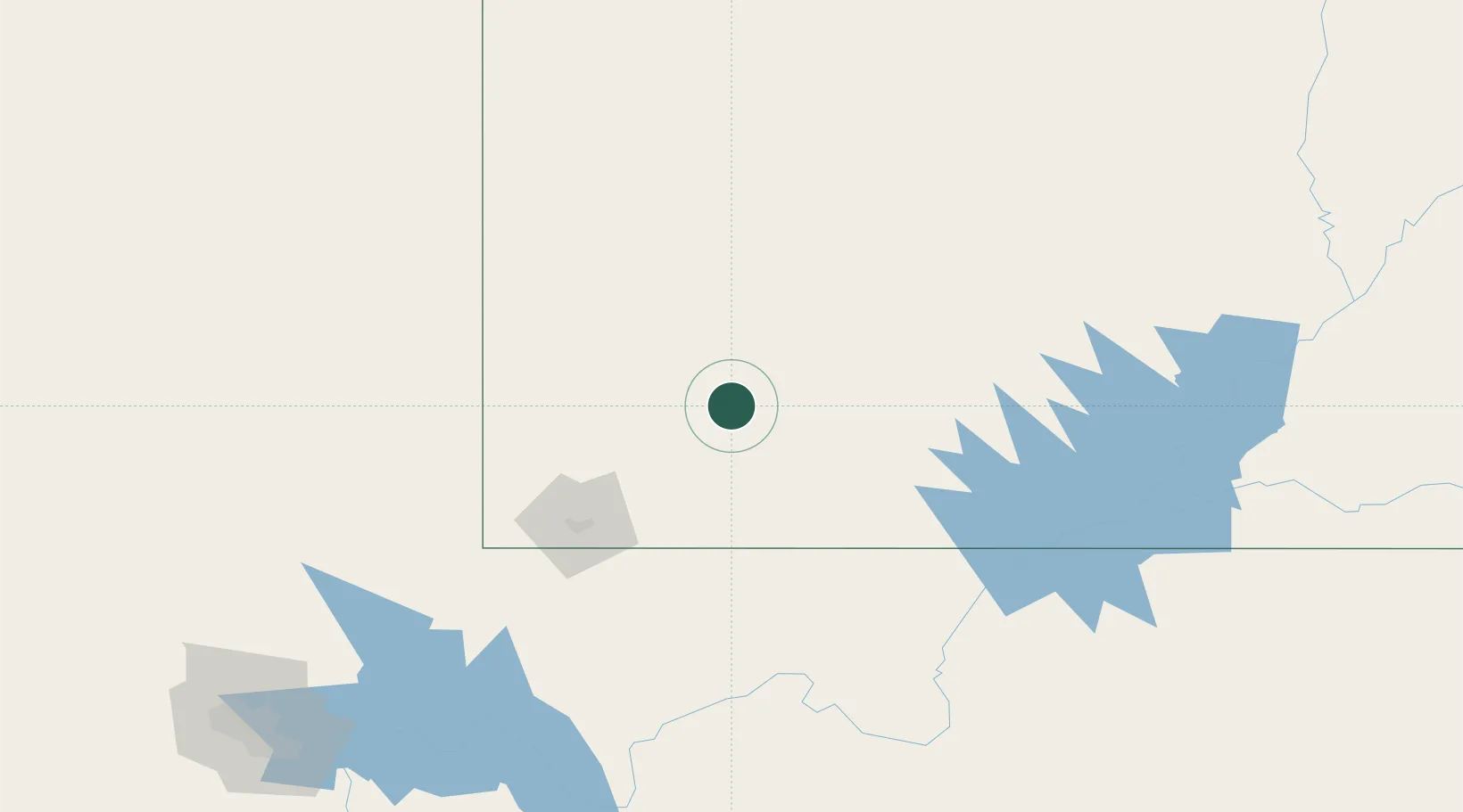
Brian Head
37.6833°, -112.8500°
87
Population
1
Transport functions
Transport Functions
Multimodal
Hub Profile
Place type
Populated place
Region
Utah
Population
87
Time zone
America/Denver
Elevation
2,987 m
Location
Nearby Logistics Neighbours
Cities
- 1Glendale46 km
- 2Minersville58 km
- 3Beryl74 km
- 4Circleville74 km
- 5Enterprise, Washington77 km
Ports
- 1Newport Beach642 km
- 2Long Beach649 km
- 3Los Angeles655 km
- 4El Segundo655 km
- 5San Diego678 km
Airports
- 1Cedar City Regional Airport22 km
- 2Bryce Canyon Airport62 km
- 3St George Regional Airport93 km
- 4Mesquite Airport143 km
- 5Page Municipal Airport150 km
Trade Zones
- 1FTZ No. 170 Clark County349 km
- 2FTZ No. 089 Clark County349 km
- 3FTZ No. 030 Salt Lake City352 km
- 4FTZ No. 277 Western Maricopa County465 km
- 5FTZ No. 075 Phoenix476 km
DatabookThe Record of Consolidated Knowledge
United States beyond logistics?