Medium airport · United States
Cedar City Regional AirportKCDC
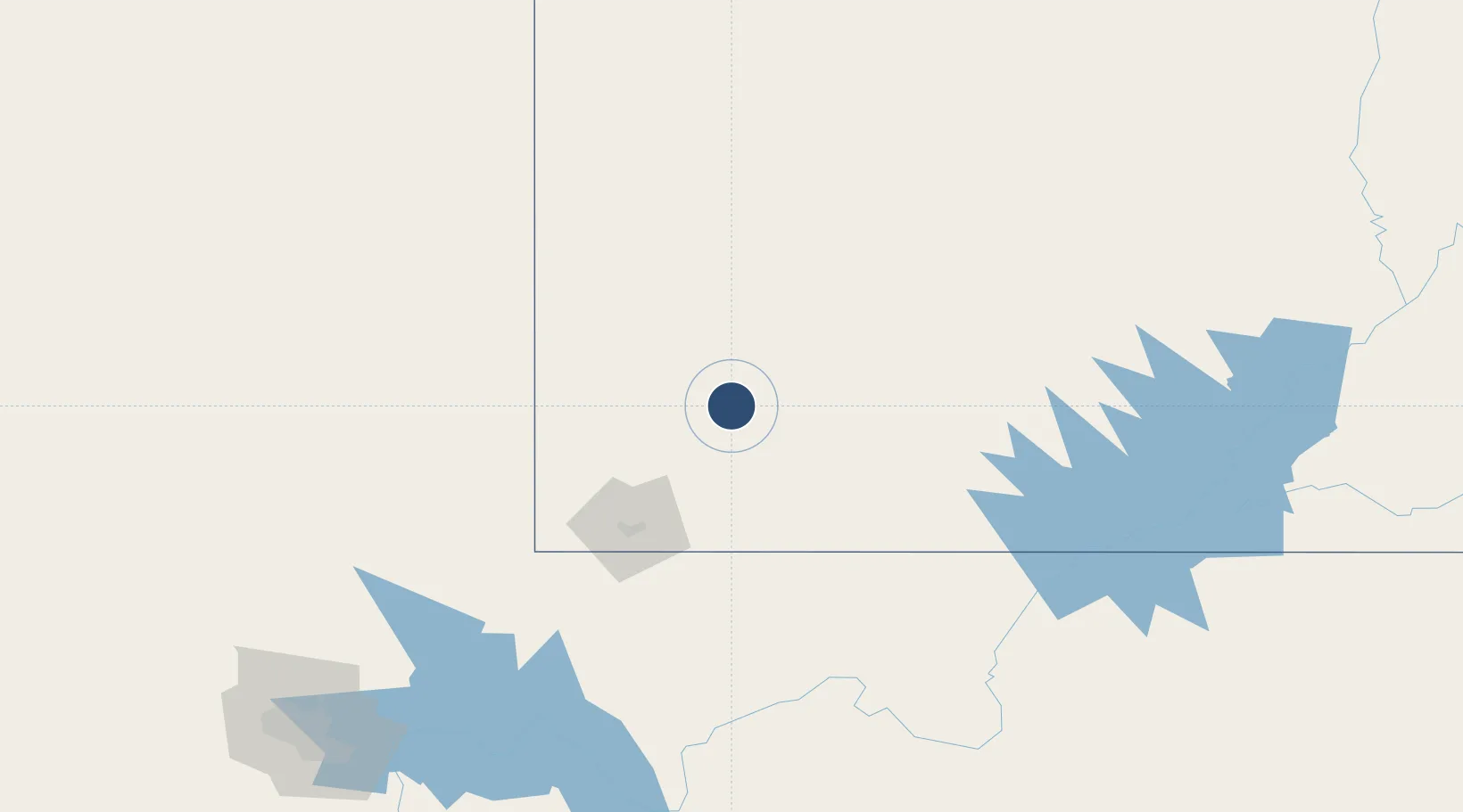
37.7010°, -113.0990°
8,653 ft
Longest runway
2
Runways
5,622 ft
Elevation
Runway & Layout

Radio Frequencies
ASOS
119.025 MHz
CTAF
123.6 MHz
RDO
122.2 MHz
UNIC
122.95 MHz
UNICOM
Navaids
CDC VOR-DME Cedar City 117.30 MHz
EC NDB Meggi 217 kHz
Runways · 2
| Runway | Dimensions | Surface | True heading | Lit |
|---|---|---|---|---|
| 02/20 | 8,653 × 150ft | Asphalt | 034° | ✓ |
| 08/26 | 4,822 × 60ft | Asphalt | 097° | ✓ |
Airport Specifications
IATA code
CDC
ICAO code
KCDC
Airport class
Medium airport
Scheduled service
Yes
Runway surface
Asphalt
Served city
Cedar City
Location
Nearby Logistics Neighbours
Airports
- 1St George Regional Airport82 km
- 2Bryce Canyon Airport84 km
- 3Mesquite Airport128 km
- 4Page Municipal Airport170 km
- 5Grand Canyon National Park Airport212 km
Cities
- 1Brian Head22 km
- 2Beryl53 km
- 3Enterprise, Washington56 km
- 4Minersville58 km
- 5Glendale61 km
Ports
- 1Newport Beach628 km
- 2Long Beach634 km
- 3El Segundo639 km
- 4Los Angeles640 km
- 5San Diego667 km
Trade Zones
- 1FTZ No. 170 Clark County332 km
- 2FTZ No. 089 Clark County332 km
- 3FTZ No. 030 Salt Lake City355 km
- 4FTZ No. 277 Western Maricopa County470 km
- 5FTZ No. 075 Phoenix482 km
DatabookThe Record of Consolidated Knowledge
United States beyond logistics?