Medium airport · United States
Bryce Canyon AirportKBCE
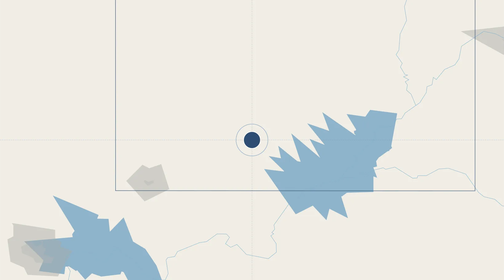
37.7064°, -112.1450°
7,395 ft
Longest runway
1
Runways
7,590 ft
Elevation
Runway & Layout

Radio Frequencies
ASOS
135.475 MHz
FSS
122.2 MHz
CEDAR CITY RDO
UNIC
122.8 MHz
CTAF/UNICOM
Runways · 1
| Runway | Dimensions | Surface | True heading | Lit |
|---|---|---|---|---|
| 03/21 | 7,395 × 75ft | Asphalt | 046° | ✓ |
Airport Specifications
IATA code
BCE
ICAO code
KBCE
Airport class
Medium airport
Scheduled service
No
Runway surface
Asphalt
Served city
Bryce Canyon
Location
Nearby Logistics Neighbours
Airports
- 1Cedar City Regional Airport84 km
- 2Page Municipal Airport107 km
- 3St George Regional Airport142 km
- 4Mesquite Airport195 km
- 5Grand Canyon National Park Airport195 km
Cities
- 1Circleville52 km
- 2Glendale59 km
- 3Brian Head62 km
- 4Minersville87 km
- 5Kanosh124 km
Ports
- 1Newport Beach691 km
- 2Long Beach699 km
- 3Los Angeles705 km
- 4El Segundo706 km
- 5San Diego719 km
Trade Zones
- 1FTZ No. 030 Salt Lake City342 km
- 2FTZ No. 170 Clark County403 km
- 3FTZ No. 089 Clark County403 km
- 4FTZ No. 277 Western Maricopa County464 km
- 5FTZ No. 075 Phoenix474 km
DatabookThe Record of Consolidated Knowledge
United States beyond logistics?