UN/LOCODE hub · United States
USIEV
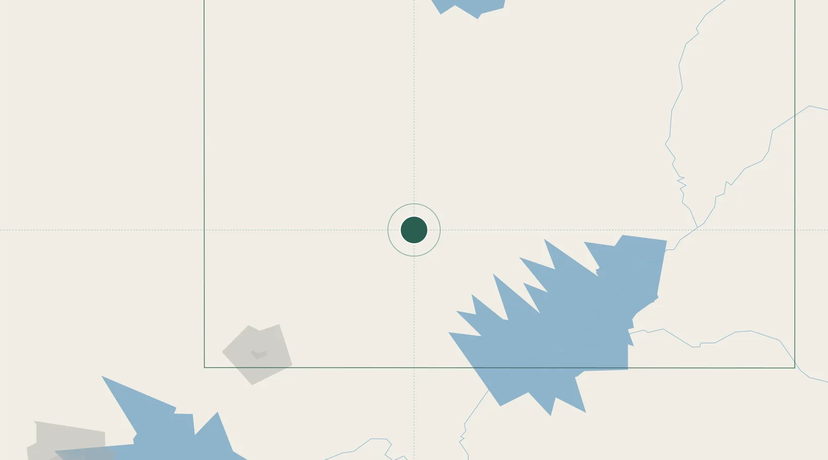
Circleville
38.1667°, -112.2667°
523
Population
2
Transport functions
Transport Functions
Road
Multimodal
Hub Profile
Place type
Populated place
Region
Utah
Population
523
Time zone
America/Denver
Elevation
1,849 m
Location
Nearby Logistics Neighbours
Cities
- 1Minersville57 km
- 2Kanosh72 km
- 3Brian Head74 km
- 4Sigurd79 km
- 5Aurora88 km
Ports
- 1Newport Beach716 km
- 2Long Beach723 km
- 3El Segundo728 km
- 4Los Angeles729 km
- 5San Diego752 km
Airports
- 1Bryce Canyon Airport52 km
- 2Cedar City Regional Airport90 km
- 3Page Municipal Airport156 km
- 4St George Regional Airport167 km
- 5Mesquite Airport217 km
Trade Zones
- 1FTZ No. 030 Salt Lake City291 km
- 2FTZ No. 170 Clark County421 km
- 3FTZ No. 089 Clark County421 km
- 4FTZ No. 277 Western Maricopa County515 km
- 5FTZ No. 075 Phoenix525 km
DatabookThe Record of Consolidated Knowledge
United States beyond logistics?