Medium airport · United States
St George Regional AirportKSGU
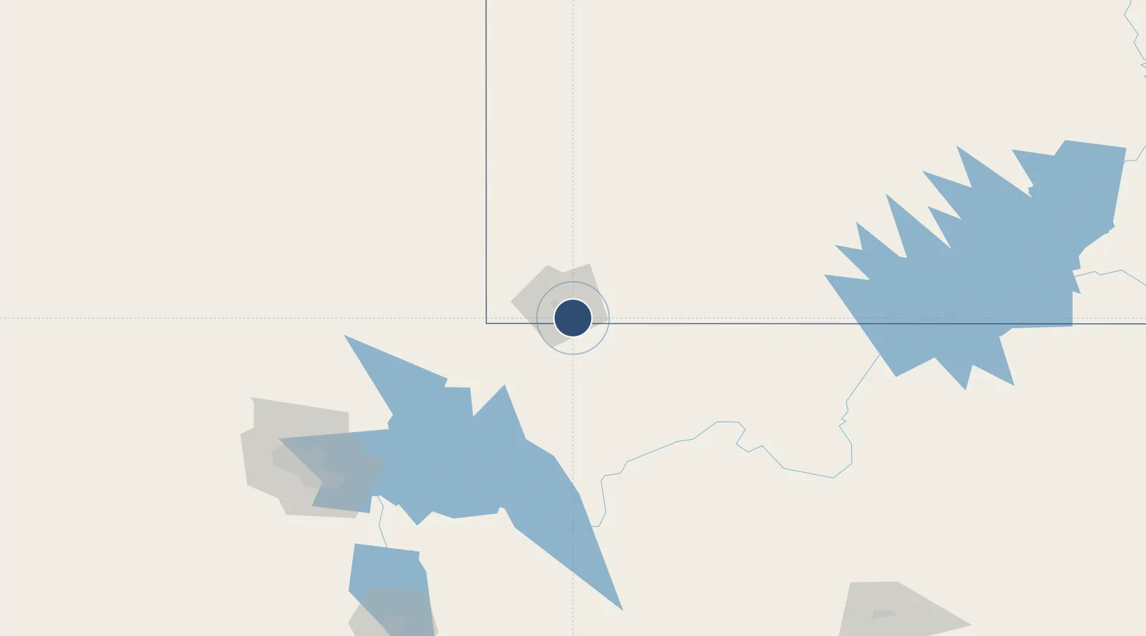
37.0364°, -113.5103°
9,300 ft
Longest runway
1
Runways
2,941 ft
Elevation
Runway & Layout

Radio Frequencies
AWOS
135.075 MHz
AWOS 3
CLD
133.3 MHz
LOS ANGELES CLNC DEL
CNTR
124.2 MHz
LOS ANGELES CNTR
RDO
122.5 MHz
CEDAR CITY RDO
UNIC
122.8 MHz
CTAF/UNICOM
Runways · 1
| Runway | Dimensions | Surface | True heading | Lit |
|---|---|---|---|---|
| 1/19 | 9,300 × 150ft | Asphalt | 023° | ✓ |
Airport Specifications
IATA code
SGU
ICAO code
KSGU
Airport class
Medium airport
Scheduled service
Yes
Runway surface
Asphalt
Served city
St George
Location
Nearby Logistics Neighbours
Airports
- 1Mesquite Airport54 km
- 2Cedar City Regional Airport82 km
- 3Bryce Canyon Airport142 km
- 4Nellis Air Force Base163 km
- 5Boulder City Municipal Airport171 km
Cities
- 1Washington9 km
- 2Enterprise, Washington62 km
- 3Glendale87 km
- 4Brian Head93 km
- 5Beryl95 km
Ports
- 1Newport Beach551 km
- 2Long Beach558 km
- 3Los Angeles564 km
- 4El Segundo565 km
- 5San Diego586 km
Trade Zones
- 1FTZ No. 170 Clark County262 km
- 2FTZ No. 089 Clark County262 km
- 3FTZ No. 277 Western Maricopa County406 km
- 4FTZ No. 075 Phoenix420 km
- 5FTZ No. 221 Mesa431 km
DatabookThe Record of Consolidated Knowledge
United States beyond logistics?