Medium airport · United States
Page Municipal AirportKPGA
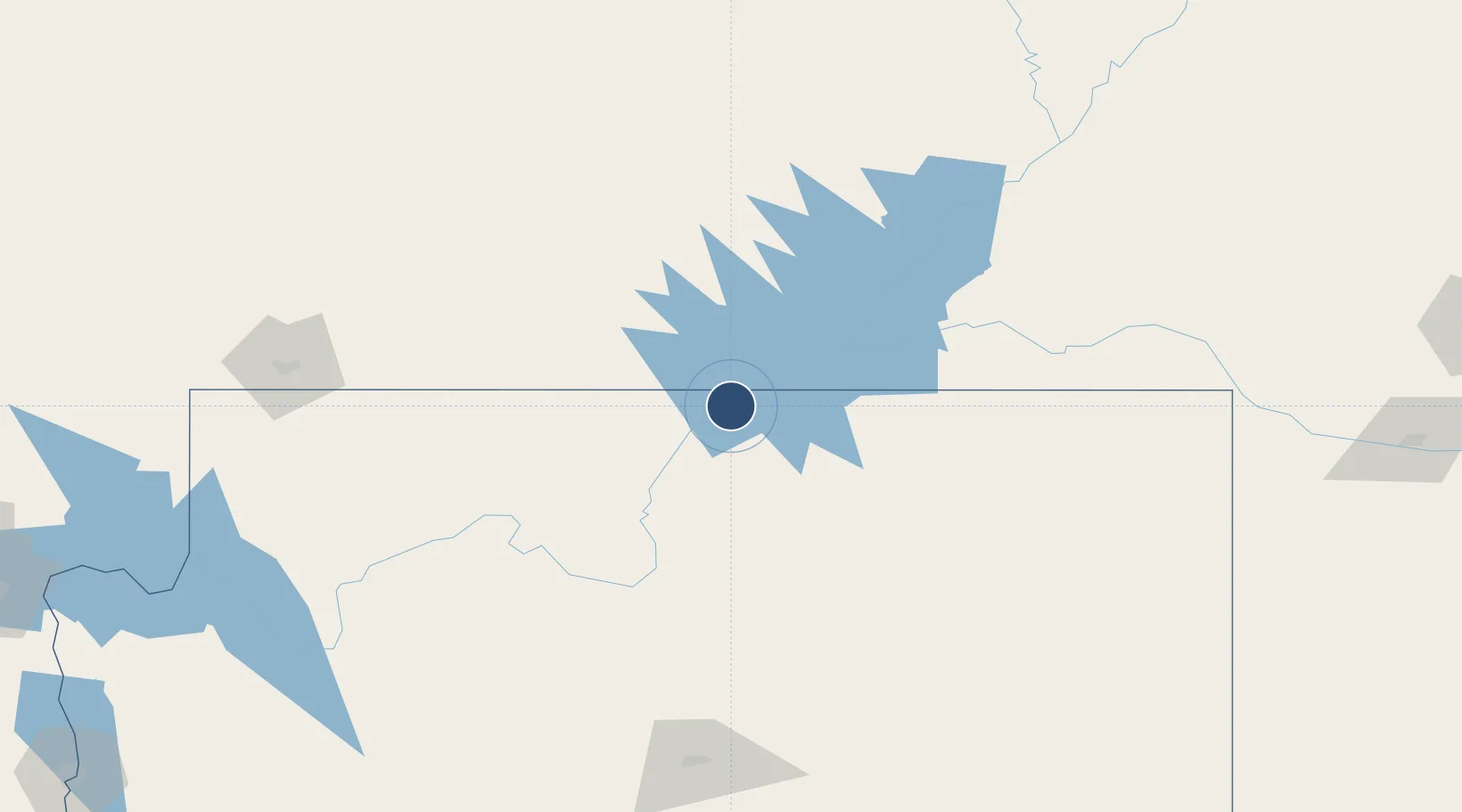
36.9242°, -111.4477°
5,950 ft
Longest runway
2
Runways
4,316 ft
Elevation
Runway & Layout

Radio Frequencies
ASOS
120.625 MHz
CNTR
127.55 MHz
DENVER CNTR
RDO
122.45 MHz
PRESCOTT RDO
UNIC
122.8 MHz
CTAF/UNICOM
Runways · 2
| Runway | Dimensions | Surface | True heading | Lit |
|---|---|---|---|---|
| 15/33 | 5,950 × 150ft | Asphalt | 170° | ✓ |
| 07/25 | 2,201 × 75ft | Asphalt | 082° | — |
Airport Specifications
IATA code
PGA
ICAO code
KPGA
Airport class
Medium airport
Scheduled service
Yes
Runway surface
Asphalt
Served city
Page
Location
Nearby Logistics Neighbours
Airports
- 1Bryce Canyon Airport107 km
- 2Grand Canyon National Park Airport125 km
- 3Cedar City Regional Airport170 km
- 4St George Regional Airport184 km
- 5Flagstaff Pulliam Airport199 km
Cities
- 1Glendale111 km
- 2Brian Head150 km
- 3Circleville156 km
- 4Washington184 km
- 5Parks190 km
Ports
- 1Newport Beach691 km
- 2San Diego702 km
- 3Long Beach704 km
- 4Los Angeles711 km
- 5El Segundo716 km
Trade Zones
- 1FTZ No. 277 Western Maricopa County384 km
- 2FTZ No. 075 Phoenix391 km
- 3FTZ No. 221 Mesa392 km
- 4FTZ No. 170 Clark County430 km
- 5FTZ No. 089 Clark County430 km
DatabookThe Record of Consolidated Knowledge
United States beyond logistics?