UN/LOCODE hub · United States
USLX8
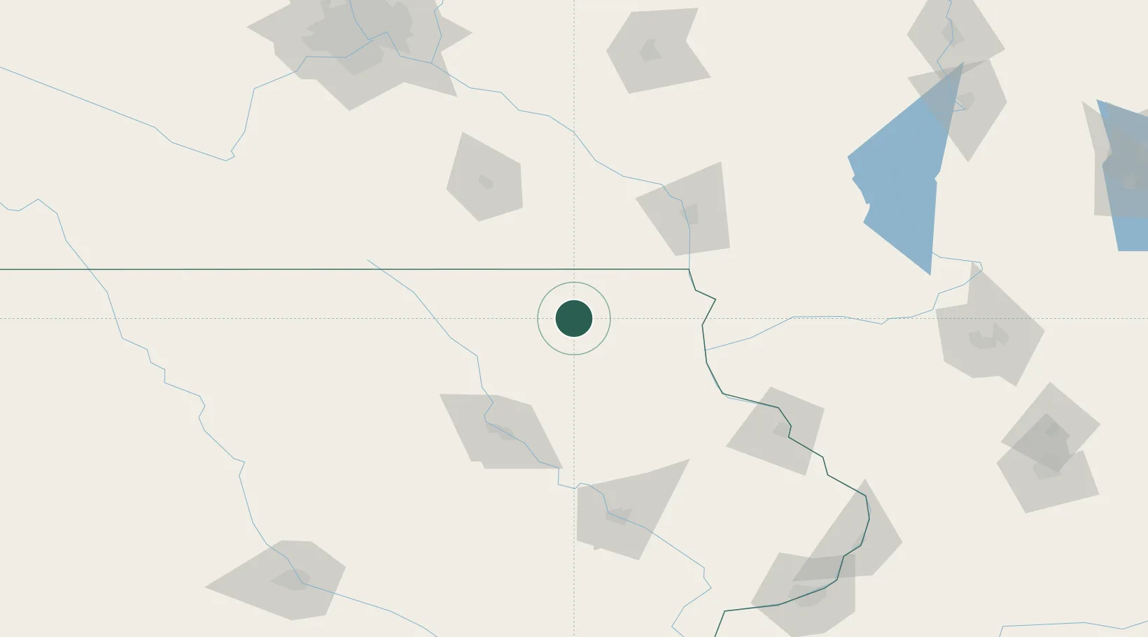
Spillville
43.2000°, -91.9500°
355
Population
2
Transport functions
Transport Functions
Port
Multimodal
Hub Profile
Place type
Populated place
Region
Iowa
Population
355
Time zone
America/Chicago
Elevation
326 m
Location
Nearby Logistics Neighbours
Ports
- 1Kaukauna319 km
- 2Milwaukee331 km
- 3Port Washington331 km
- 4Racine343 km
- 5Kenosha344 km
Airports
Trade Zones
DatabookThe Record of Consolidated Knowledge
United States beyond logistics?