Transport Functions
Road
Multimodal
Hub Profile
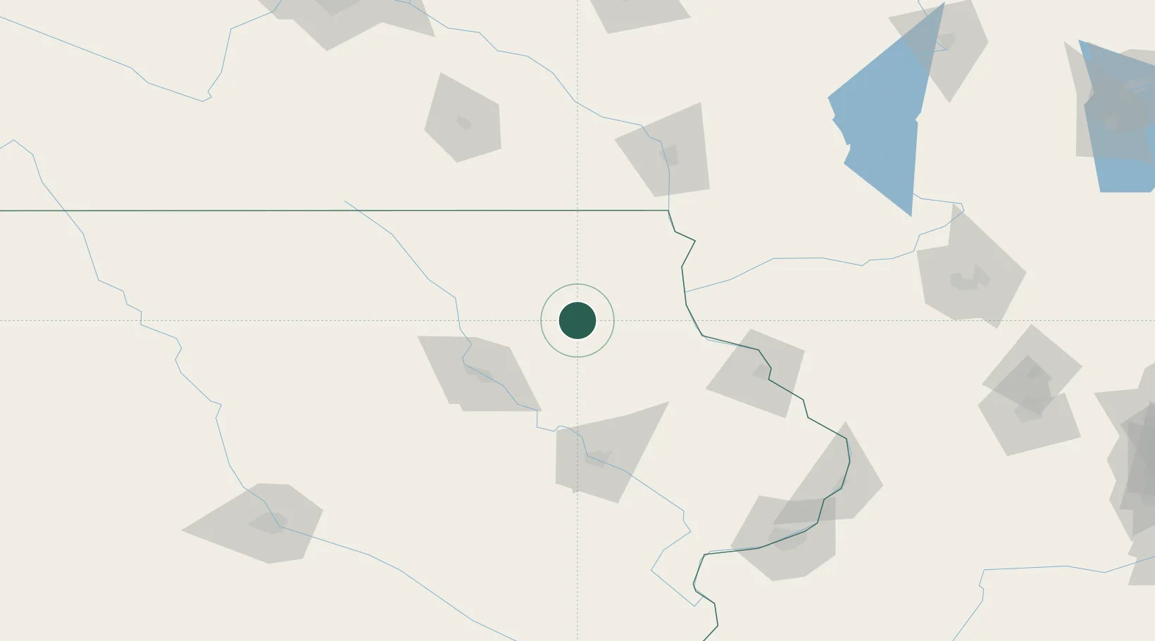
Place type
Populated place
Region
Iowa
Population
1,491
Time zone
America/Chicago
Elevation
307 m
Location
Nearby Logistics Neighbours
Cities
- 1Arlington16 km
- 2Clermont22 km
- 3Strawberry Point27 km
- 4Elkader33 km
- 5Edgewood39 km
Ports
- 1Milwaukee320 km
- 2Port Washington325 km
- 3Kenosha327 km
- 4Kaukauna327 km
- 5Racine328 km
Airports
- 1Waterloo Regional Airport58 km
- 2Northeast Iowa Regional Airport71 km
- 3Dubuque Regional Airport101 km
- 4The Eastern Iowa Airport106 km
- 5La Crosse Regional Airport124 km
Trade Zones
- 1FTZ No. 175 Cedar Rapids97 km
- 2FTZ No. 271 Jo-Daviess and Carroll Counties140 km
- 3FTZ No. 266 Dane County173 km
- 4FTZ No. 107 Polk County204 km
- 5FTZ No. 176 Rockford222 km
DatabookThe Record of Consolidated Knowledge
United States beyond logistics?