Transport Functions
Road
Multimodal
Hub Profile
Place type
Provincial seat
Region
Minnesota
Population
1,299
Time zone
America/Chicago
Elevation
292 m
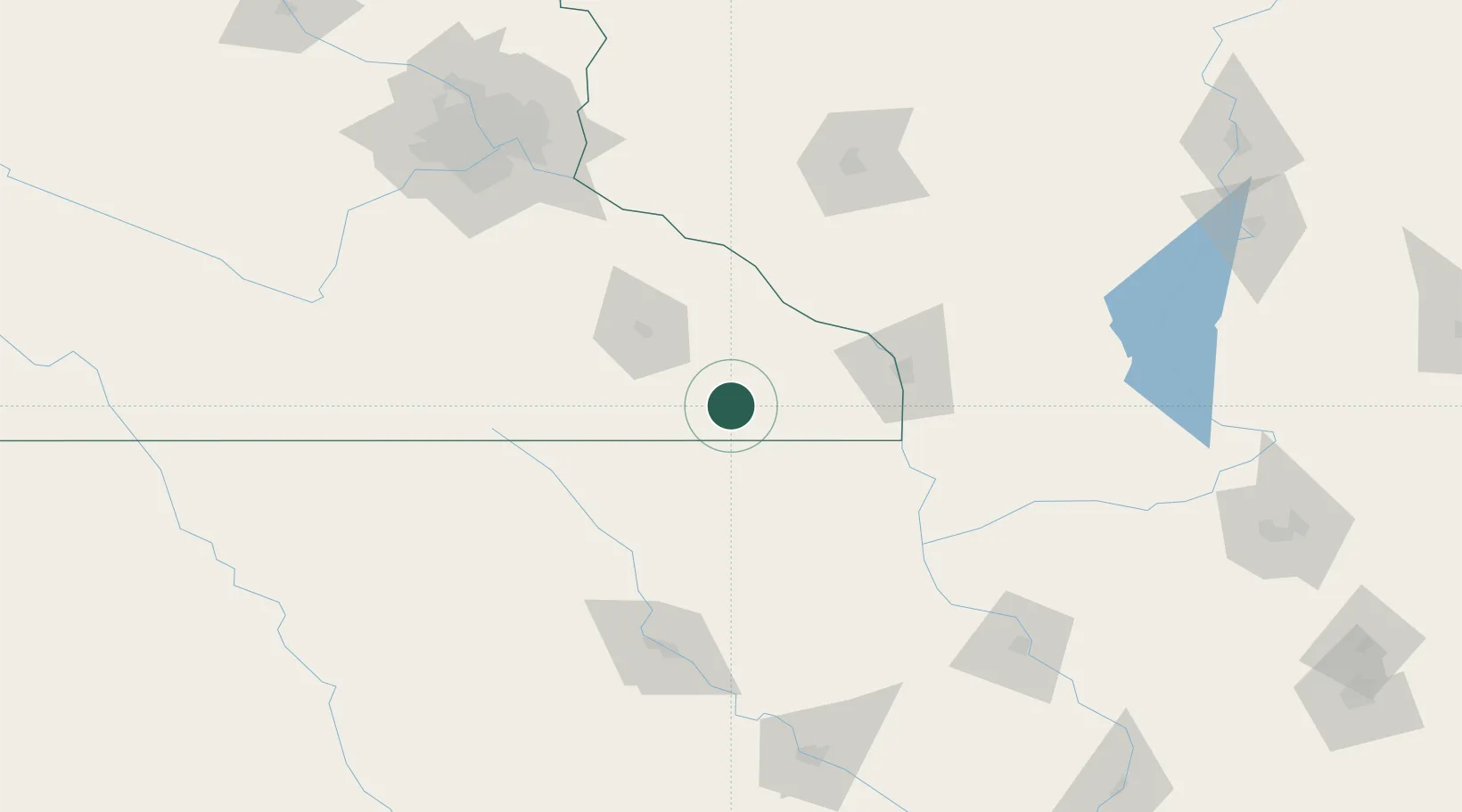
Location
Nearby Logistics Neighbours
Cities
- 1Rushford29 km
- 2Saint Charles33 km
- 3Stewartville39 km
- 4Caledonia47 km
- 5Spillville53 km
Ports
- 1Kaukauna312 km
- 2Green Bay337 km
- 3Ashland340 km
- 4Port Washington340 km
- 5Superior341 km
Airports
Trade Zones
DatabookThe Record of Consolidated Knowledge
United States beyond logistics?