UN/LOCODE hub · United States
USRCQ
Roscommon
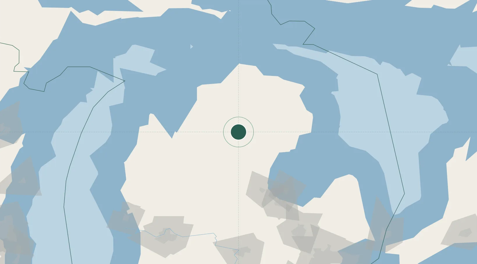
44.4833°, -84.5833°
1,061
Population
2
Transport functions
Transport Functions
Rail
Road
Hub Profile
Place type
Provincial seat
Region
Michigan
Population
1,061
Time zone
America/Detroit
Elevation
346 m
Location
Nearby Logistics Neighbours
Ports
- 1Traverse City88 km
- 2Alabaster89 km
- 3Tawas City89 km
- 4Oscoda101 km
- 5Petoskey103 km
Airports
Trade Zones
- 1FTZ No. 101 Clinton County172 km
- 2FTZ No. 284 Genesee County172 km
- 3FTZ No. 140 Flint176 km
- 4FTZ No. 189 Kent Ottawa/Muskegon Counties195 km
- 5FTZ No. 019 Omaha218 km
DatabookThe Record of Consolidated Knowledge
United States beyond logistics?