Medium airport · United States
Kimble County AirportKJCT
30.5113°, -99.7635°
5,004 ft
Longest runway
2
Runways
1,749 ft
Elevation
Runway & Layout

Radio Frequencies
ASOS
119.275 MHz
CNTR
125.75 MHz
HOUSTON CNTR
FSS
122.3 MHz
SAN ANGELO RDO
UNIC
122.8 MHz
CTAF/UNICOM
Runways · 2
| Runway | Dimensions | Surface | True heading | Lit |
|---|---|---|---|---|
| 17/35 | 5,004 × 75ft | Asphalt | 180° | ✓ |
| 08/26 | 2,255 × 130ft | Grass | 092° | — |
Airport Specifications
IATA code
JCT
ICAO code
KJCT
Airport class
Medium airport
Scheduled service
No
Runway surface
Asphalt
Served city
Junction
Location
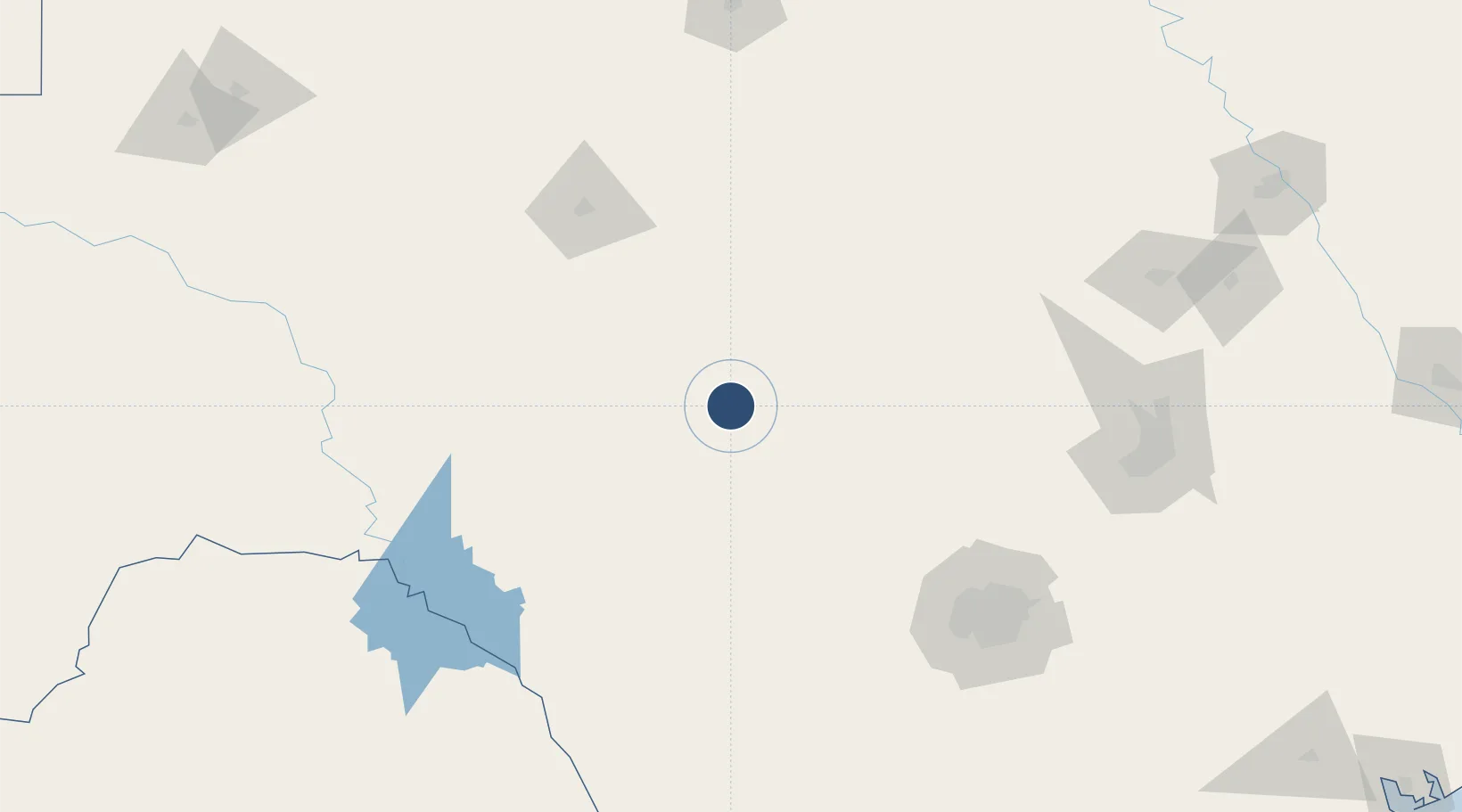
Nearby Logistics Neighbours
Airports
- 1Sonora Municipal Airport85 km
- 2Curtis Field85 km
- 3San Angelo Regional Mathis Field117 km
- 4Laughlin Air Force Base161 km
- 5San Antonio International Airport165 km
Ports
- 1Port Lavaca370 km
- 2Corpus Christi377 km
- 3Rockport382 km
- 4Port Ingleside391 km
- 5Port Aransas398 km
Trade Zones
- 1FTZ No. 080 San Antonio148 km
- 2FTZ No. 183 Austin196 km
- 3FTZ No. 096 Eagle Pass214 km
- 4FTZ No. 246 Waco265 km
- 5FTZ No. 165 Midland286 km
DatabookThe Record of Consolidated Knowledge
United States beyond logistics?