UN/LOCODE hub · United States
USZSS
San Saba
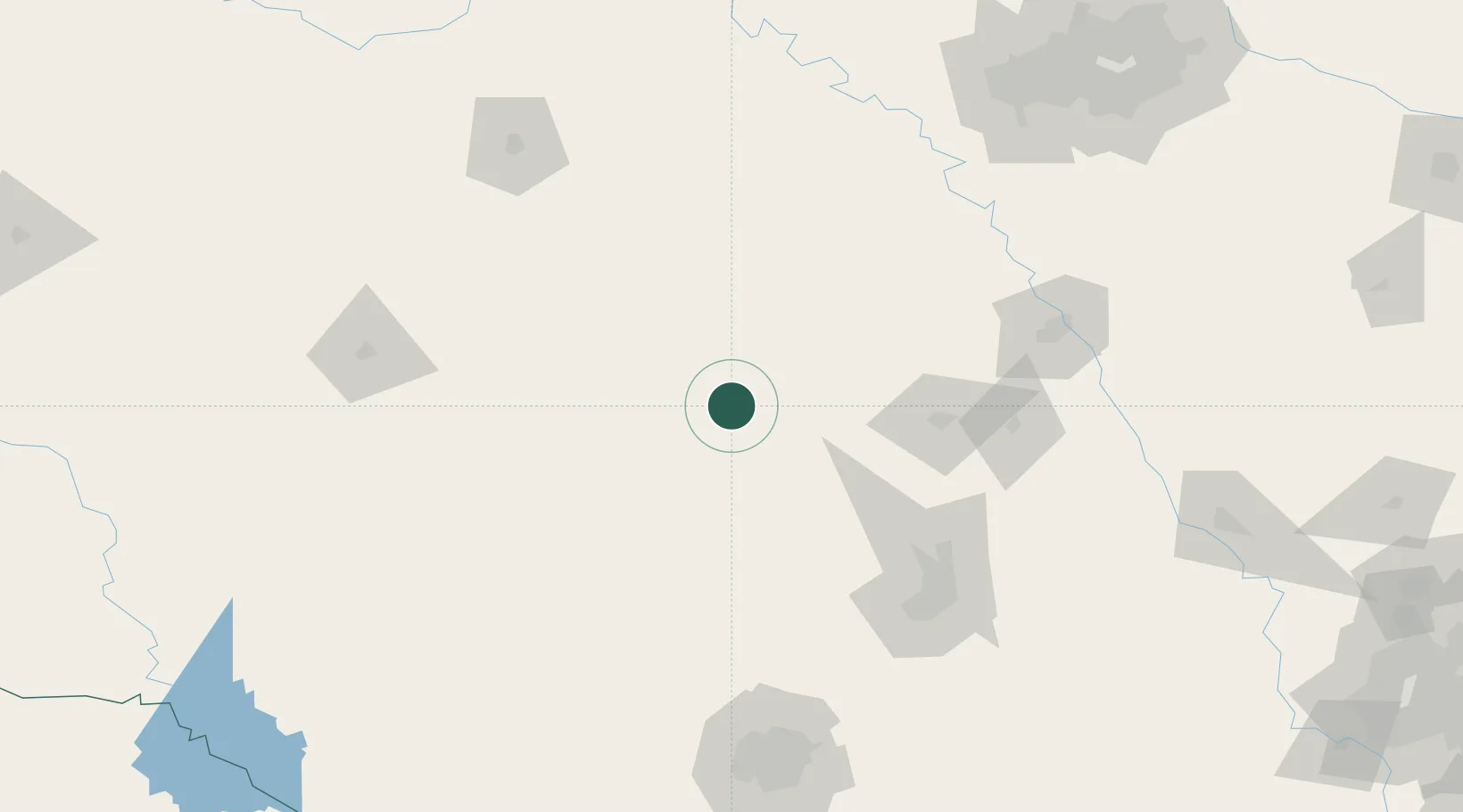
31.2000°, -98.7167°
3,030
Population
2
Transport functions
Transport Functions
Rail
Road
Hub Profile
Place type
Provincial seat
Region
Texas
Population
3,030
Time zone
America/Chicago
Elevation
367 m
Location
Nearby Logistics Neighbours
Cities
- 1Goldthwaite30 km
- 2Tow43 km
- 3Llano50 km
- 4Lampasas54 km
- 5Kingsland67 km
Ports
- 1Port Lavaca351 km
- 2Deer Park362 km
- 3Houston366 km
- 4Palacios369 km
- 5Pasadena374 km
Airports
Trade Zones
- 1FTZ No. 183 Austin140 km
- 2FTZ No. 246 Waco144 km
- 3FTZ No. 039 Dallas Fort Worth181 km
- 4FTZ No. 080 San Antonio191 km
- 5FTZ No. 113 Ellis County202 km
DatabookThe Record of Consolidated Knowledge
United States beyond logistics?