Transport Functions
Rail
Road
Multimodal
Hub Profile
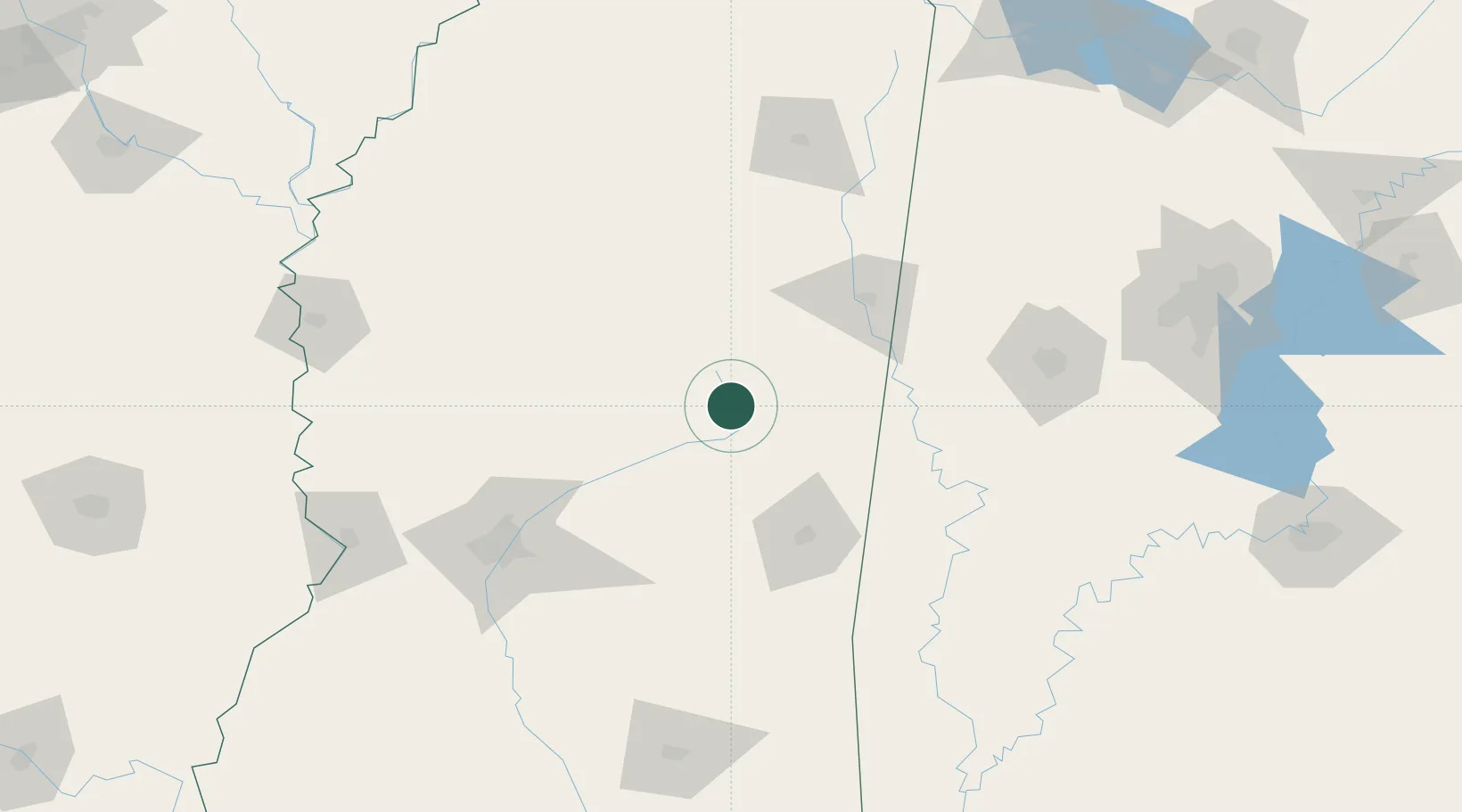
Place type
Populated place
Region
Mississippi
Population
451
Time zone
America/Chicago
Elevation
166 m
Location
Nearby Logistics Neighbours
Cities
- 1Tuscan34 km
- 2Ackerman35 km
- 3Coldwater36 km
- 4Brooksville52 km
- 5Artesia60 km
Ports
- 1Port Of Memphis251 km
- 2Mobile273 km
- 3Biloxi292 km
- 4Gulfport295 km
- 5Pascagoula298 km
Airports
Trade Zones
- 1FTZ No. 158 Vicksburg Jackson178 km
- 2FTZ No. 098 Birmingham218 km
- 3FTZ No. 262 Southaven234 km
- 4FTZ No. 287 Tunica County237 km
- 5FTZ No. 223 Memphis256 km
DatabookThe Record of Consolidated Knowledge
United States beyond logistics?